Andenes - Andøya Andenes
Airport details
| Country | Norway |
| State | Nordland |
| Region | EN |
| Airspace | Polaris Ctr |
| Municipality | Andøy |
| Elevation | 41ft (12m) |
| Timezone | GMT +1 |
| Coordinates | 69.29250, 16.14417 |
| Magnetic var | |
| Type | land |
| Available since | X-Plane v10.40 |
| ICAO code | ENAN |
| IATA code | ANX |
| FAA code | n/a |
Communication
| Andøya Andenes Tower | 118.200 |
| Andøya Andenes Tower | 118.700 |
| Andøya Andenes Tower | 122.100 |
| Andøya Andenes GCA | 119.100 |
| Andøya Andenes GCA | 121.100 |
| Andøya Andenes GCA | 123.300 |
Approach frequencies
| LOC | RW14 | 109.35 | 18.00mi |
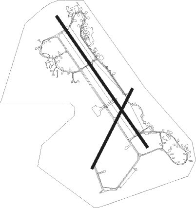
Runway info
Runway 14 / 32  | ||
| length | 2994m (9823ft) | |
| bearing | 121° / 301° | |
| width | 45m (148ft) | |
| surface | asphalt | |
| displ threshold | 260m (853ft) / 270m (886ft) | |
| Runway 03 / 21 | ||
| length | 1663m (5456ft) | |
| bearing | 60° / 240° | |
| width | 45m (148ft) | |
| surface | asphalt | |
Nearby beacons
| code | identifier | dist | bearing | frequency |
|---|---|---|---|---|
| AND | ANDOYA VOR/DME | 0.2 | 211° | 112.20 |
| OYA | ANDOYA TACAN | 0.3 | 178° | 109.10 |
| KG | KJERRINGNES NDB | 40.5 | 227° | 404 |
| FS | FJELLSTAD NDB | 43.2 | 143° | 396 |
| EVS | EVENES TACAN | 49.4 | 146° | 134 |
| EVD | EVENES VOR/DME | 51.4 | 147° | 117.35 |
| ODD | ODDEN NDB | 53.7 | 181° | 365 |
Departure and arrival routes
| Transition altitude | 7000ft |
| STAR starting points | distance | inbound heading | |
|---|---|---|---|
| RW14 | |||
| SKG5U | 49.1 | 57° | |
| TRO5U | 64.8 | 262° | |
| SJA5U | 36.4 | 274° | |
| RW32 | |||
| SKG5V | 49.1 | 57° | |
| TRO5V | 64.8 | 262° | |
| SJA5V | 36.4 | 274° | |
| EVD5V | 51.4 | 327° | |
Instrument approach procedures
| runway | airway (heading) | route (dist, bearing) |
|---|---|---|
| RW14 | BEKAB (103°) | BEKAB 2800ft ROBUM (5mi, 78°) 1500ft |
| RW14 | OVBEX (171°) | OVBEX 2600ft ROBUM (5mi, 258°) 1500ft |
| RNAV | ROBUM 1500ft OTROR (4mi, 121°) 1500ft ENAN (6mi, 121°) 76ft AN410 (7mi, 121°) ROBUM (16mi, 301°) 2000ft ROBUM (turn) 2000ft | |
| RW32 | GEVPI (283°) | GEVPI 4300ft IPLUR (5mi, 258°) 2500ft |
| RW32 | IVGAM (302°) | IVGAM 4400ft IPLUR (5mi, 302°) 2500ft |
| RW32 | RUTOD (349°) | RUTOD 3600ft IPLUR (5mi, 78°) 2500ft |
| RNAV | IPLUR 2500ft ABSOV (5mi, 302°) 1500ft ENAN (5mi, 301°) 67ft ROBUM (10mi, 301°) 2000ft ROBUM (turn) 2000ft |
Disclaimer
The information on this website is not for real aviation. Use this data with the X-Plane flight simulator only! Data taken with kind consent from X-Plane 12 source code and data files. Content is subject to change without notice.