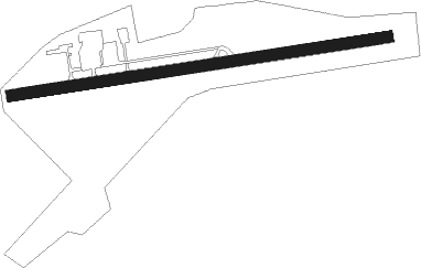
Tjukkebygdi - Bomoen
Airport details
| Country | Norway |
| State | Hordaland |
| Region | EN |
| Airspace | Polaris Ctr |
| Municipality | Voss |
| Elevation | 295ft (90m) |
| Timezone | GMT +1 |
| Coordinates | 60.63880, 6.50160 |
| Magnetic var | |
| Type | land |
| Available since | X-Plane v10.40 |
| ICAO code | ENBM |
| IATA code | n/a |
| FAA code | n/a |
Communication
| Bomoen INFO | 123.500 |
Nearby Points of Interest:
Ygre Station
-Lensmannssteinen
-Lydvaloftet
-Raundalen Church
-Kvilekvål
-Hesthamar skrivargard
-Ulvik stavkirke
-Broch-huset
-Borgstua i Kinsarvik
-Øystese stavkirke
-Ullensvang manse
Nearby beacons
| code | identifier | dist | bearing | frequency |
|---|---|---|---|---|
| VNG | VANGSNES NDB | 32.3 | 15° | 404 |
| SOG | SOGNDAL VOR/DME | 36.2 | 52° | 114.20 |
| KPG | KAUPANGER NDB | 38.4 | 53° | 303 |
| BL | BRINGELAND NDB | 50 | 315° | 374 |
Disclaimer
The information on this website is not for real aviation. Use this data with the X-Plane flight simulator only! Data taken with kind consent from X-Plane 12 source code and data files. Content is subject to change without notice.