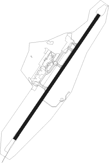
Brønnøy - Brønnøysund Brønnøy
Airport details
| Country | Norway |
| State | Nordland |
| Region | EN |
| Airspace | Polaris Ctr |
| Municipality | Brønnøy |
| Elevation | 22ft (7m) |
| Timezone | GMT +1 |
| Coordinates | 65.46111, 12.21750 |
| Magnetic var | |
| Type | land |
| Available since | X-Plane v10.40 |
| ICAO code | ENBN |
| IATA code | BNN |
| FAA code | n/a |
Communication
| Brønnøysund Brønnøy ATIS | 135.900 |
| Brønnøysund Brønnøy AFIS | 119.600 |
Nearby beacons
| code | identifier | dist | bearing | frequency |
|---|---|---|---|---|
| BNN | BRONNOY VOR/DME | 0.2 | 218° | 115.30 |
| STO | STOKKA (SANDNESSJOEN) VOR/DME | 30.6 | 27° | 112 |
| NMS | NAMSOS NDB | 58.9 | 203° | 329 |
| NA | DME-ILS | 61.7 | 213° | 108.50 |
Departure and arrival routes
| Transition altitude | 7000ft |
| SID end points | distance | outbound heading | |
|---|---|---|---|
| RW03 | |||
| SOMB2A | 10mi | 233° | |
| DETR2A | 17mi | 278° | |
| PEPI2A | 11mi | 339° | |
| RW21 | |||
| SOMB2B | 10mi | 233° | |
| DETR2B | 17mi | 278° | |
| PEPI2B | 11mi | 339° | |
Instrument approach procedures
| runway | airway (heading) | route (dist, bearing) |
|---|---|---|
| RW03-X | ABRAK (79°) | ABRAK 3700ft BN420 (6mi, 105°) 2500ft |
| RW03-X | GITAP (29°) | GITAP 3700ft BN420 (4mi, 293°) 2500ft |
| RW03-X | MEDEK (62°) | MEDEK 4600ft BN420 (4mi, 68°) 2500ft |
| RNAV | BN420 2500ft BN421 (3mi, 59°) 1900ft FTP (6mi, 59°) 64ft BN422 (1mi, 59°) PEPIB (10mi, 331°) PEPIB (turn) 2600ft PEPIB (turn) PEPIB (turn) 4000ft | |
| RW03-Z | ABRAK (79°) | ABRAK 3700ft KUVIT (5mi, 108°) 2500ft |
| RW03-Z | GITAP (29°) | GITAP 3700ft KUVIT (5mi, 289°) 2500ft |
| RW03-Z | MEDEK (62°) | MEDEK 4600ft KUVIT (4mi, 62°) 2500ft |
| RNAV | KUVIT 2500ft IPSEN (4mi, 62°) 1900ft ENBN (6mi, 63°) 64ft (3967mi, 191°) 600ft PEPIB (3977mi, 10°) PEPIB (turn) 2600ft PEPIB (turn) PEPIB (turn) 4000ft | |
| RWNVA | IXILO (134°) | IXILO 3800ft BN404 (5mi, 96°) 3000ft |
| RWNVA | ULTUL (167°) | ULTUL 4400ft BN404 (5mi, 166°) 3000ft |
| RWNVA | XODBA (208°) | XODBA 4900ft BN404 (5mi, 259°) 3000ft |
| RNAV | BN404 3000ft BN408 (4mi, 166°) 3000ft BN406 (8mi, 166°) 740ft MEDEK (15mi, 239°) 4000ft MEDEK (turn) 4000ft |
Disclaimer
The information on this website is not for real aviation. Use this data with the X-Plane flight simulator only! Data taken with kind consent from X-Plane 12 source code and data files. Content is subject to change without notice.
