Hønefoss - Eggemoen
Airport details
| Country | Norway |
| State | Buskerud |
| Region | EN |
| Airspace | Polaris Ctr |
| Municipality | Ringerike |
| Elevation | 648ft (198m) |
| Timezone | GMT +1 |
| Coordinates | 60.21722, 10.32389 |
| Magnetic var | |
| Type | land |
| Available since | X-Plane v10.40 |
| ICAO code | ENEG |
| IATA code | n/a |
| FAA code | n/a |
Communication
Nearby Points of Interest:
Hvalsmoen
-Hønefoss Church
-Stein kirkeruin
-Krokkleiva
-Dynna stone
-Grinaker stavkirke
-Værtshuset Bærums Verk
-Skar leir
-The Royal Lodge, Holmenkollen
-Skuibakken
-Krøderen Line
-Vike kirkeruin
-Sørbråten Chapel
-Vøyen gård
-Gråmagan
-Riis mine
-Heggen prestegård
-Husebygrenda
-Villa Schreiner
-Villa Ditlev-Simonsen
-Ringstabekk
-Gaustad Hospital
-Bærum hospital
-Embassy of the People's Republic of China, Oslo
-Lilleaker
Runway info
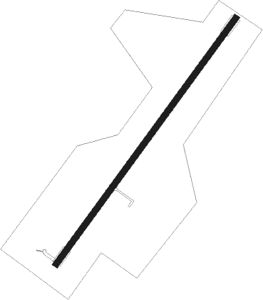
| Runway 04 / 22 | ||
| length | 2102m (6896ft) | |
| bearing | 60° / 240° | |
| width | 45m (148ft) | |
| surface | asphalt | |
Nearby beacons
| code | identifier | dist | bearing | frequency |
|---|---|---|---|---|
| GRM | GARDERMOEN VOR/DME | 22.4 | 92° | 115.95 |
| SIG | SIGDAL VOR/DME | 24 | 254° | 117.70 |
| NLK | DME | 24.9 | 69° | 115.60 |
| HAA | HAMAR NDB | 42.2 | 51° | 371 |
| RYG | RYGGE TACAN | 52.9 | 150° | 113.50 |
| YG | ENGE NDB | 53.1 | 149° | 396 |
| MES | MESNALI VOR/DME | 53.8 | 20° | 114.40 |
| RG | TUNE (MOSS) NDB | 57.4 | 143° | 381 |
Instrument approach procedures
| runway | airway (heading) | route (dist, bearing) |
|---|---|---|
| RW04 | EG400 (74°) | EG400 5000ft EG401 (5mi, 113°) 5000ft |
| RW04 | EG402 (60°) | EG402 5000ft EG401 (5mi, 60°) 5000ft |
| RW04 | EG403 (38°) | EG403 5000ft EG401 (5mi, 293°) 5000ft |
| RNAV | EG401 5000ft EG404 (4mi, 60°) 4000ft ENEG (10mi, 60°) 684ft EG405 (4mi, 60°) 4000ft EG406 (3mi, 354°) 4000ft KAIPO (9mi, 270°) 6000ft KAIPO (turn) 6000ft | |
| RW22 | EG410 (255°) | EG410 5000ft EG411 (5mi, 293°) 5000ft |
| RW22 | EG412 (240°) | EG412 5000ft EG411 (5mi, 240°) 5000ft |
| RW22 | EG413 (217°) | EG413 5000ft EG411 (5mi, 113°) 5000ft |
| RNAV | EG411 5000ft EG414 (4mi, 240°) 4000ft ENEG (9mi, 240°) 702ft EG415 (4mi, 240°) 4000ft KAIPO (10mi, 313°) 6000ft KAIPO (turn) 6000ft |
Disclaimer
The information on this website is not for real aviation. Use this data with the X-Plane flight simulator only! Data taken with kind consent from X-Plane 12 source code and data files. Content is subject to change without notice.