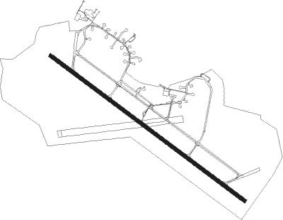
Farsund - Farsund Lista Lufthavn
Airport details
| Country | Norway |
| State | Vest-Agder |
| Region | EN |
| Airspace | Polaris Ctr |
| Municipality | Farsund |
| Elevation | 25ft (8m) |
| Timezone | GMT +1 |
| Coordinates | 58.10028, 6.62500 |
| Magnetic var | |
| Type | land |
| Available since | X-Plane v10.40 |
| ICAO code | ENLI |
| IATA code | FAN |
| FAA code | n/a |
Communication
| Farsund Lista Lufthavn Lista Traffic | 126.450 |
Nearby Points of Interest:
Strandgaten 16
Nearby beacons
| code | identifier | dist | bearing | frequency |
|---|---|---|---|---|
| LST | LISTA TACAN | 0 | 34° | 109.30 |
| ZOL | SOLA VOR/DME | 55.8 | 308° | 116.85 |
| SOA | SOLA TACAN | 55.9 | 308° | 112.25 |
Disclaimer
The information on this website is not for real aviation. Use this data with the X-Plane flight simulator only! Data taken with kind consent from X-Plane 12 source code and data files. Content is subject to change without notice.