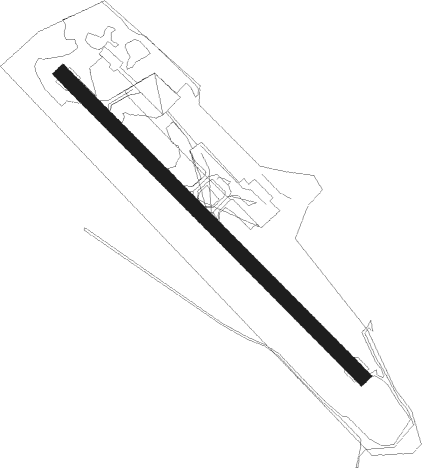
Mo I Rana - Mo I Rana Røssvoll
Airport details
| Country | Norway |
| State | Nordland |
| Region | EN |
| Airspace | Polaris Ctr |
| Municipality | Rana |
| Elevation | 226ft (69m) |
| Timezone | GMT +1 |
| Coordinates | 66.36389, 14.30139 |
| Magnetic var | |
| Type | land |
| Available since | X-Plane v10.40 |
| ICAO code | ENRA |
| IATA code | MQN |
| FAA code | n/a |
Communication
Approach frequencies
| LOC | RW31 | 111.3 | 18.00mi |
Nearby beacons
| code | identifier | dist | bearing | frequency |
|---|---|---|---|---|
| GR | GRUBEN (MO I RANA) NDB | 3.3 | 244° | 368 |
| STM | STROMMEN NDB | 13.5 | 262° | 345 |
| NUT | HEMAVAN NDB | 36.5 | 125° | 325 |
| MOS | MOSJOEN TACAN | 37.8 | 244° | 113.90 |
| VFL | VARDEFJELL VOR/DME | 37.8 | 244° | 113.30 |
| STT | STOTT NDB | 39.5 | 303° | 317 |
| SUT | HEMAVAN NDB | 44.9 | 126° | 342 |
| BDO | BODO VOR/DME | 54.2 | 4° | 117.55 |
| BOO | BODO TACAN | 54.2 | 4° | 110.80 |
Instrument approach procedures
| runway | airway (heading) | route (dist, bearing) |
|---|---|---|
| RWNVA | LORDO (77°) | LORDO 5000ft PETOK (6mi, 335°) 5000ft ODNOS (9mi, 86°) 5000ft |
| RWNVA | MAGAP (90°) | MAGAP 5000ft PETOK (6mi, 155°) 5000ft ODNOS (9mi, 86°) 5000ft |
| RWNVA | PETOK (84°) | PETOK 5000ft ODNOS (9mi, 86°) 5000ft |
| RWNVA | SUBIT (74°) | SUBIT 5000ft GILKO (6mi, 336°) 5000ft ODNOS (4mi, 86°) 5000ft |
| RNAV | ODNOS 5000ft RA501 (6mi, 89°) 3100ft RA502 (8mi, 82°) 1430ft (4031mi, 192°) 2100ft ODNOS (4025mi, 12°) 5000ft ODNOS (turn) 5000ft |
Disclaimer
The information on this website is not for real aviation. Use this data with the X-Plane flight simulator only! Data taken with kind consent from X-Plane 12 source code and data files. Content is subject to change without notice.