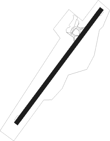
Rørvik - Rørvik Ryum
Airport details
| Country | Norway |
| State | Nord-Trøndelag |
| Region | EN |
| Airspace | Polaris Ctr |
| Municipality | Nærøysund |
| Elevation | 13ft (4m) |
| Timezone | GMT +1 |
| Coordinates | 64.83833, 11.14611 |
| Magnetic var | |
| Type | land |
| Available since | X-Plane v10.40 |
| ICAO code | ENRM |
| IATA code | RVK |
| FAA code | n/a |
Communication
| Rørvik Ryum AFIS | 119.800 |
Nearby beacons
| code | identifier | dist | bearing | frequency |
|---|---|---|---|---|
| RVK | RORVIK VOR/DME | 0 | 143° | 112.70 |
| LVK | LEIRVIKA NDB | 24.2 | 160° | 284 |
| NA | DME-ILS | 24.5 | 131° | 108.50 |
| NMS | NAMSOS NDB | 26.7 | 117° | 329 |
Instrument approach procedures
| runway | airway (heading) | route (dist, bearing) |
|---|---|---|
| RW04 | EKNUS (64°) | EKNUS 4000ft RM401 (4mi, 64°) 3000ft |
| RW04 | GASKU (78°) | GASKU 4000ft EKNUS (5mi, 110°) 3000ft RM401 (4mi, 64°) 3000ft |
| RW04 | MIKDA (38°) | MIKDA 4000ft EKNUS (5mi, 291°) 3000ft RM401 (4mi, 64°) 3000ft |
| RNAV | RM401 3000ft ENRM (7mi, 64°) 61ft RM403 (4mi, 64°) MIKDA (17mi, 226°) MIKDA (turn) 4000ft | |
| RW22 | BERON (259°) | BERON 4000ft RM525 (5mi, 282°) 4000ft |
| RW22 | RM526 (231°) | RM526 4000ft RM525 (5mi, 134°) 4000ft |
| RNAV | RM525 4000ft RM524 (5mi, 248°) 3000ft RM523 (7mi, 248°) 65ft RM527 (3mi, 248°) BERON (17mi, 77°) BERON (turn) 4000ft |
Disclaimer
The information on this website is not for real aviation. Use this data with the X-Plane flight simulator only! Data taken with kind consent from X-Plane 12 source code and data files. Content is subject to change without notice.
