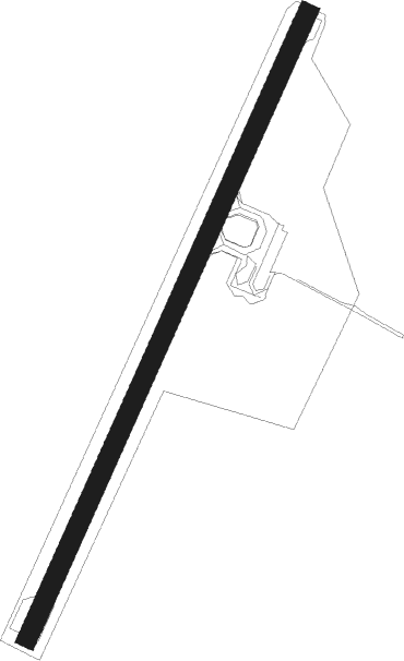
Røst
Airport details
| Country | Norway |
| State | Nordland |
| Region | EN |
| Airspace | Polaris Ctr |
| Municipality | Røst |
| Elevation | 5ft (2m) |
| Timezone | GMT +1 |
| Coordinates | 67.52778, 12.10333 |
| Magnetic var | |
| Type | land |
| Available since | X-Plane v10.40 |
| ICAO code | ENRS |
| IATA code | RET |
| FAA code | n/a |
Communication
Nearby beacons
| code | identifier | dist | bearing | frequency |
|---|---|---|---|---|
| RST | ROST NDB | 0.1 | 268° | 338 |
Instrument approach procedures
| runway | airway (heading) | route (dist, bearing) |
|---|---|---|
| RW02 | DIVOL (2°) | DIVOL 4000ft RS404 (5mi, 282°) 2000ft |
| RW02 | RS406 (76°) | RS406 4000ft RS404 (5mi, 102°) 2000ft |
| RNAV | RS404 2000ft RS405 (5mi, 55°) 1800ft ENRS (5mi, 55°) 59ft RS501 (5mi, 55°) DIVOL (15mi, 203°) DIVOL (turn) 4000ft | |
| RW20 | LOLNO (257°) | LOLNO 5000ft RS502 (5mi, 282°) 2000ft |
| RW20 | RS503 (235°) | RS503 4000ft RS502 (5mi, 235°) 2000ft |
| RNAV | RS502 2000ft RS505 (5mi, 235°) 1800ft ENRS (4mi, 235°) 59ft RS403 (5mi, 235°) LOLNO (15mi, 71°) LOLNO (turn) 5000ft |
Disclaimer
The information on this website is not for real aviation. Use this data with the X-Plane flight simulator only! Data taken with kind consent from X-Plane 12 source code and data files. Content is subject to change without notice.