Reinsvoll
Airport details
| Country | Norway |
| State | Oppland |
| Region | EN |
| Airspace | Polaris Ctr |
| Municipality | Vestre Toten |
| Elevation | 1379ft (420m) |
| Timezone | GMT +1 |
| Coordinates | 60.67222, 10.56750 |
| Magnetic var | |
| Type | land |
| Available since | X-Plane v10.40 |
| ICAO code | ENRV |
| IATA code | n/a |
| FAA code | n/a |
Communication
Nearby Points of Interest:
Rogneby
-Kraby
-Skibladner
-Kapp Melkefabrikk
-Billerud
-Søndre Land prestegård
-Ringsaker parsonage
-Grinaker stavkirke
-Sagatun Folk High School
-Hamar Airport
-Åkervika
-Åker farm
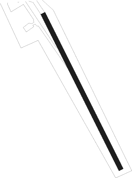
Runway info
| Runway 16 / 34 | ||
| length | 733m (2405ft) | |
| bearing | 140° / 320° | |
| width | 20m (66ft) | |
| surface | gravel | |
Nearby beacons
| code | identifier | dist | bearing | frequency |
|---|---|---|---|---|
| HAA | HAMAR NDB | 17.1 | 74° | 371 |
| NLK | DME | 17.1 | 115° | 115.60 |
| MES | MESNALI VOR/DME | 25.7 | 10° | 114.40 |
| GRM | GARDERMOEN VOR/DME | 32.5 | 133° | 115.95 |
| ERB | DME | 37.2 | 112° | 116.25 |
| SIG | SIGDAL VOR/DME | 48.3 | 235° | 117.70 |
Disclaimer
The information on this website is not for real aviation. Use this data with the X-Plane flight simulator only! Data taken with kind consent from X-Plane 12 source code and data files. Content is subject to change without notice.