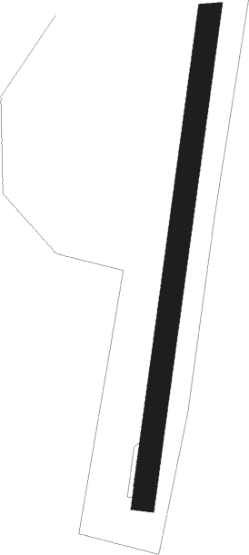
Svolvær - Svolvaer Helle
Airport details
| Country | Norway |
| State | Nordland |
| Region | EN |
| Airspace | Polaris Ctr |
| Municipality | Vågan |
| Elevation | 25ft (8m) |
| Timezone | GMT +1 |
| Coordinates | 68.24333, 14.66917 |
| Magnetic var | |
| Type | land |
| Available since | X-Plane v10.40 |
| ICAO code | ENSH |
| IATA code | SVJ |
| FAA code | n/a |
Communication
Approach frequencies
| LOC | RW01 | 110.5 | 18.00mi |
Nearby beacons
| code | identifier | dist | bearing | frequency |
|---|---|---|---|---|
| HL | HELLE (SVOLVAER) NDB | 0.3 | 224° | 258 |
| KN | SKROVA (SVOLVAER) NDB | 5.4 | 192° | 299 |
| SKG | SKAGEN VOR/DME | 21.6 | 48° | 112.80 |
| KG | KJERRINGNES NDB | 30.8 | 63° | 404 |
| BDO | BODO VOR/DME | 59 | 197° | 117.55 |
| BOO | BODO TACAN | 59 | 197° | 110.80 |
Departure and arrival routes
| Transition altitude | 7000ft |
| SID end points | distance | outbound heading | |
|---|---|---|---|
| RW01 | |||
| ARDU1A, ARDU1D, ARDU1V | 38mi | 192° | |
| UGME1A | 42mi | 259° | |
| RW19 | |||
| ARDU1B, ARDU1E, ARDU1W | 38mi | 192° | |
| UGME1B | 42mi | 259° | |
Instrument approach procedures
| runway | airway (heading) | route (dist, bearing) |
|---|---|---|
| RW01-Y | ABTIK (68°) | ABTIK 4600ft SH402 (5mi, 95°) 2800ft |
| RW01-Y | EXARA (320°) | EXARA 4600ft SH402 (5mi, 275°) 2800ft |
| RW01-Y | OSRUL (31°) | OSRUL 4200ft SH402 (3mi, 30°) 2800ft |
| RNAV | SH402 2800ft SH401 (4mi, 31°) 2000ft ENSH (5mi, 31°) 79ft SH401 (5mi, 211°) ABTIK (6mi, 260°) ABTIK (turn) 4200ft | |
| RW01-Z | ABTIK (68°) | ABTIK 4600ft SH402 (5mi, 95°) 2800ft |
| RW01-Z | EXARA (320°) | EXARA 4600ft SH402 (5mi, 275°) 2800ft |
| RW01-Z | OSRUL (31°) | OSRUL 4200ft SH402 (3mi, 30°) 2800ft |
| RNAV | SH402 2800ft SH401 (4mi, 31°) 2000ft SH400 (3mi, 31°) 908ft (4141mi, 192°) 3100ft ABTIK (4134mi, 12°) ABTIK (turn) 4200ft |
Disclaimer
The information on this website is not for real aviation. Use this data with the X-Plane flight simulator only! Data taken with kind consent from X-Plane 12 source code and data files. Content is subject to change without notice.
