Bircza
Airport details
| Country | Poland |
| State | Subcarpathian Voivodeship |
| Region | |
| Airspace | Warsaw Ctr |
| Municipality | Wola Korzeniecka |
| Elevation | 1435ft (437m) |
| Timezone | GMT +1 |
| Coordinates | 49.66359, 22.51240 |
| Magnetic var | |
| Type | land |
| Available since | X-Plane v10.40 |
| ICAO code | EPAR |
| IATA code | n/a |
| FAA code | n/a |
Communication
| Bircza Arlamow Radio | 136.500 |
| Bircza Krakow Approach | 121.075 |
Nearby Points of Interest:
Castle in Bircza
-Cmentarz żydowski w Birczy
-Our Lady of Perpetual Help church in Kuźmina
-Simeon Stylites Church
-Baptism of Christ church in Siemuszowa
-Kościół Narodzenia Najświętszej Maryi Panny w Łodzinie
-Former Greek Catholic church of Saint Nicholas in Dobra
-Kościół Świętych Apostołów Piotra i Pawła w Tyrawie Solnej
-Cerkiew Soboru Bogurodzicy w Paszowej
-Church of the Nativity of the Virgin Mary in Wańkowa
-Budynek Greckokatolickiego Seminarium Duchownego w Przemyślu
-Manor house in Bykowce
-Kościół św. Stanisława Biskupa w Uhercach Mineralnych
-Castle in Dąbrówka Starzeńska
-Saint Michael Archangel and Saint Anne Church in Dydnia
-11 Sanowa Street in Sanok
-39 Zielona Street in Sanok
-Cemetery in Nowotaniec
-30 Zamkowa Street in Sanok
-16 Zamkowa Street in Sanok
-2 Zamkowa Street in Sanok
-14 Rynek Street in Sanok
-Old town hall in Sanok
-18 Rynek Street in Sanok
-2 Lenartowicza Street in Sanok
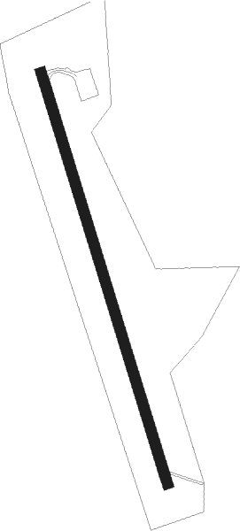
Runway info
| Runway 17 / 35 | ||
| length | 1201m (3940ft) | |
| bearing | 161° / 341° | |
| width | 30m (98ft) | |
| surface | asphalt | |
Nearby beacons
| code | identifier | dist | bearing | frequency |
|---|---|---|---|---|
| RSW | LUKAWIEC VOR/DME | 30.4 | 320° | 110.60 |
| VI | VERHNIE NDB | 48.1 | 144° | 334 |
Disclaimer
The information on this website is not for real aviation. Use this data with the X-Plane flight simulator only! Data taken with kind consent from X-Plane 12 source code and data files. Content is subject to change without notice.