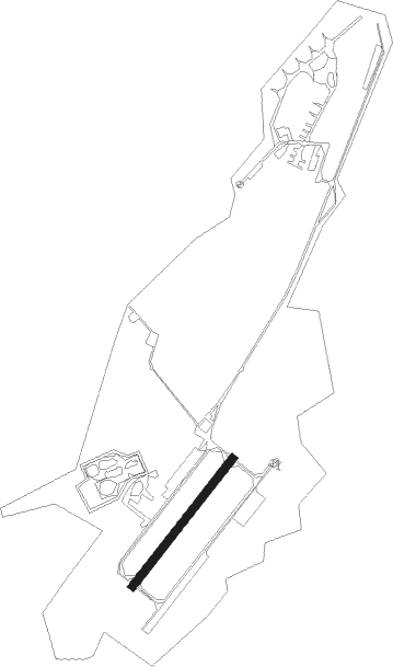
Airports for X-Plane offers a convenient way to explore airports and their related communication information for the X-Plane flight simulator. It only uses data from the X-Plane flight simulator itself, and is therefore more reliable than the data that comes from real aviation websites. You can search for airports by using the ICAO code, or browse for airports per country and state. The information displayed is categorized by airport details, runway information, airport communication, approach frequencies (ILS and Glidepath details), details of nearby beacons, SIDs, STARs and approach procedures.

jet gravel tarmac bus airport authority seaplanes consulate airline helicopters airport check-in landing stolport aircraft metro automated airport weather station station airfield traffic pattern jetliner rail near

Darłowo - Darlowo

Airport details

CountryPoland
StateWest Pomeranian Voivodeship
RegionEP
AirspaceWarsaw Ctr
Municipalitygmina Darłowo
Elevation7ft (2m)
TimezoneGMT +1
Coordinates54.40537, 16.35731
Magnetic var
Typeland
Available sinceX-Plane v10.40
ICAO codeEPDA
IATA coden/a
FAA coden/a

Communication

Darlowo DARLOWO INFO128.500
Darlowo DARLOWO TOWER129.500
Darlowo DARLOWO ApproachROACH133.000
Nearby Points of Interest:
Darłowo Town Hall
-
Hemptenmacher's Tenement House in Darłowo
-
Saint Stanislaus Kostka church in Sianów
-
City office in Sławno
-
Brama Koszalińska
-
Our Lady of the Rosary church in Sierakowo Sławieńskie
-
Przy Amfiteatrze Park in Koszalin
-
Church of the Transfiguration in Mielno
-
budynek urzędu wojewódzkiego
-
Orthodox church of the Dormition in Koszalin
-
3 Grodzka Street in Koszalin
-
Koszalińska Kolej Wąskotorowa
-
Krąg Castle
-
Palace in Nacław
-
Amber Palace in Strzekęcino
-
Salvator church in Ustka
-
Palace in Parsowo

Runway info

Runway 04 / 22
 length599m (1965ft)
 bearing58° / 238°
 width30m (98ft)
 surfaceasphalt

Nearby beacons

codeidentifierdistbearingfrequency
TDADARLOWO TACAN0123°116.85
SDARLOWO NDB0.651°436
DARDARLOWO VOR/DME1.181°114.20
SADARLOWO NDB2.155°474
TZEDME27.6105°113.80
NDSWIDWIN NDB41.2219°280
TSNSWIDWIN TACAN41.4219°116
CZADME53.9184°117

Disclaimer

The information on this website is not for real aviation. Use this data with the X-Plane flight simulator only! Data taken with kind consent from X-Plane 12 source code and data files. Content is subject to change without notice.