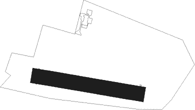
Elbląg - Elblag
Airport details
| Country | Poland |
| State | Warmian-Masurian Voivodeship |
| Region | EP |
| Airspace | Warsaw Ctr |
| Municipality | Elbląg |
| Elevation | 8ft (2m) |
| Timezone | GMT +1 |
| Coordinates | 54.14088, 19.42335 |
| Magnetic var | |
| Type | land |
| Available since | X-Plane v10.40 |
| ICAO code | EPEL |
| IATA code | n/a |
| FAA code | n/a |
Communication
| Elblag ELBLAG RADIO | 122.300 |
Nearby beacons
| code | identifier | dist | bearing | frequency |
|---|---|---|---|---|
| KMI | DME | 10.4 | 282° | 116.80 |
| NB | MALBORK NDB | 11.1 | 247° | 345 |
| TMB | MALBORK TACAN | 12.2 | 248° | 117.10 |
| NET | PRUSZCZ GDANSKI NDB | 24.5 | 278° | 370 |
| NE | PRUSZCZ GDANSKI NDB | 26.1 | 278° | 300 |
| OSY | DME | 37.9 | 115° | 116.25 |
| GZD | GDANSK VOR/DME | 38 | 284° | 116.10 |
| NWO | OKSYWIE (GDYNIA) NDB | 38.7 | 295° | 494 |
| NW | OKSYWIE (GDYNIA) NDB | 39.9 | 296° | 290 |
| TOW | OKSYWIE (GDYNIA) TACAN | 41.6 | 296° | 113.50 |
| NO | OKSYWIE (GDYNIA) NDB | 42.5 | 296° | 290 |
| GRU | GRUDZIADZ VOR/DME | 43.6 | 226° | 114.60 |
| NOW | OKSYWIE (GDYNIA) NDB | 44.2 | 296° | 494 |
Disclaimer
The information on this website is not for real aviation. Use this data with the X-Plane flight simulator only! Data taken with kind consent from X-Plane 12 source code and data files. Content is subject to change without notice.
