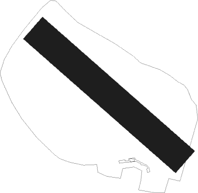
Grudziadz - Lisie Katy
Airport details
| Country | Poland |
| State | Kuyavian-Pomeranian Voivodeship |
| Region | EP |
| Airspace | Warsaw Ctr |
| Municipality | gmina Grudziądz |
| Elevation | 104ft (32m) |
| Timezone | GMT +1 |
| Coordinates | 53.52442, 18.84933 |
| Magnetic var | |
| Type | land |
| Available since | X-Plane v10.40 |
| ICAO code | EPGI |
| IATA code | n/a |
| FAA code | n/a |
Communication
| Lisie Katy Lisie Katy Radio | 122.805 |
Nearby Points of Interest:
Kościół św. Wojciecha w Rogóźnie
-Rogóźno Castle
-Grudziądz Castle
-Saint James church in Wielki Lubień
-Saint Joseph church in Gardeja
-Nowe Castle
-Church of the Immaculate Heart of Mary in Warlubie
-Kaplica św. Jerzego w Nowem
-Saint Anne church in Radzyń Chełmiński
-Sanctuary in Rywałd
-17 Słowiańska Street in Kwidzyn
-Kościół św. Małgorzaty w Płużnicy
-Wąbrzeźno Castle
-Saints Simon and Jude church in Wąbrzeźno
-Old town hall in Świecie
-Church of the Nativity of the Virgin Mary in Piaseczno
-Saint Roch church in Osiek
-Palace in Grubno
-Palace in Bałoszyce
-Saint John of Nepomuk and Our Lady of the Rosary church in Biskupiec
-Lutheran church in Biskupiec
-Former cadets school in Chełmno
-3 Toruńska Street in Chełmno
-Gniew Town Hall
-35 Dominikańska Street in Chełmno
Nearby beacons
| code | identifier | dist | bearing | frequency |
|---|---|---|---|---|
| GRU | GRUDZIADZ VOR/DME | 2.4 | 267° | 114.60 |
| TMB | MALBORK TACAN | 31.7 | 30° | 117.10 |
| NB | MALBORK NDB | 32.4 | 32° | 345 |
| BYZ | BYDGOSZCZ VOR/DME | 40.5 | 244° | 112.70 |
| KMI | DME | 41.9 | 24° | 116.80 |
| NET | PRUSZCZ GDANSKI NDB | 43.1 | 352° | 370 |
| NE | PRUSZCZ GDANSKI NDB | 43.6 | 348° | 300 |
| NRD | INOWROCLAW NDB | 44.3 | 215° | 444 |
| NR | INOWROCLAW NDB | 45.2 | 216° | 262 |
| TIR | INOWROCLAW TACAN | 46.1 | 217° | 109.25 |
| GZD | GDANSK VOR/DME | 53.9 | 334° | 116.10 |
| PCK | DME | 55.2 | 138° | 117.65 |
Disclaimer
The information on this website is not for real aviation. Use this data with the X-Plane flight simulator only! Data taken with kind consent from X-Plane 12 source code and data files. Content is subject to change without notice.