Airports for X-Plane offers a convenient way to explore airports and their related communication information for the X-Plane flight simulator. It only uses data from the X-Plane flight simulator itself, and is therefore more reliable than the data that comes from real aviation websites. You can search for airports by using the ICAO code, or browse for airports per country and state. The information displayed is categorized by airport details, runway information, airport communication, approach frequencies (ILS and Glidepath details), details of nearby beacons, SIDs, STARs and approach procedures.

flight attendant near regional airbase airport terminal outskirts jet warfare pilot seaplanes traffic bus air safety hangar terminal aerodromes airfield traffic pattern passenger flights hospital

Gliwice - Gliwice Trynek

Airport details

CountryPoland
StateSilesian Voivodeship
RegionEP
AirspaceWarsaw Ctr
MunicipalityGliwice
Elevation833ft (254m)
TimezoneGMT +1
Coordinates50.26942, 18.67279
Magnetic var
Typeland
Available sinceX-Plane v10.40
ICAO codeEPGL
IATA coden/a
FAA coden/a

Communication

No airport communication available for EPGL
Nearby Points of Interest:
Evangelical Methodist Church in Gliwice
-
Granary
-
Saint James church in Sośnicowice
-
palace in Zabrze-Mikulczyce
-
Czuchów Castle
-
Bielszowice Coal Mine
-
Granary in Ziemięcice
-
Our Lady of the Rosary church in Ruda Śląska
-
Former Preussen mine buildings in Bytom
-
Zabytkowa Stacja Wodociągowa Zawada
-
Saint Joseph church in Ruda Śląska
-
Villa Bartelt in Leszczyny
-
Old Cemetery in Bełk
-
Kochłowice (grodzisko)
-
Evangelical church from Bytom-Bobrek
-
Fazaniec
-
Ostoja Pokoju
-
Palace in Bycina
-
Pałac w Orzeszu-Zawiści
-
schron bojowy nr 39 w Świętochłowicach-Piaśnikach
-
John the Baptist church in Świętochłowice
-
Palace in Pniów
-
Szyb Krystyna
-
Saint Lawrence church in Bytom
-
bathing establishment in Bytom

Runway info

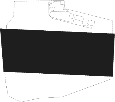
Runway 10 / 28
 length741m (2431ft)
 bearing94° / 274°
 width400m (1312ft)
 surfacegrass

Airport layout


Nearby beacons

codeidentifierdistbearingfrequency
PSZDME18147°116.90
KAXKATOWICE VOR/DME20.163°114.80
WIEDME37.4344°109.65
NNADA (OSTRAVA) NDB39.2224°258
OTAOSTRAVA VOR/DME40.6225°117.45
RRADA (OSTRAVA) NDB42.1225°534

Disclaimer

The information on this website is not for real aviation. Use this data with the X-Plane flight simulator only! Data taken with kind consent from X-Plane 12 source code and data files. Content is subject to change without notice.