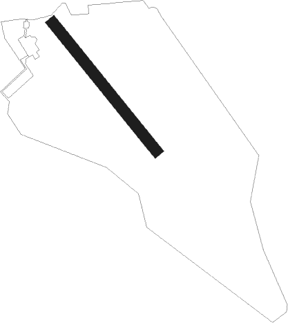
Sulejówek - Goraszka
Airport details
| Country | Poland |
| State | Masovian Voivodeship |
| Region | EP |
| Airspace | Warsaw Ctr |
| Municipality | Góraszka |
| Elevation | 344ft (105m) |
| Timezone | GMT +1 |
| Coordinates | 52.18661, 21.27719 |
| Magnetic var | |
| Type | land |
| Available since | X-Plane v10.40 |
| ICAO code | EPGO |
| IATA code | n/a |
| FAA code | n/a |
Communication
Nearby beacons
| code | identifier | dist | bearing | frequency |
|---|---|---|---|---|
| OKC | OKECIE (WARSAW) VOR/DME | 11.7 | 267° | 113.45 |
| TMM | MINSK MAZOWIECKI TACAN | 14.3 | 89° | 117.05 |
| NF | MINSK MAZOWIECKI NDB | 15.2 | 89° | 282 |
| LIN | DME | 15.8 | 205° | 113.10 |
| WAR | ZABOROWEK VOR/DME | 23.2 | 277° | 114.90 |
| MOL | MODLIN VOR/DME | 27.1 | 294° | 116.60 |
| KRN | DME | 33.9 | 254° | 117.80 |
| SIE | SIEDLCE VOR/DME | 34 | 92° | 114.70 |
| NED | DEBLIN NDB | 41.6 | 138° | 465 |
| NE | DEBLIN NDB | 43.4 | 137° | 366 |
| TDN | DEBLIN TACAN | 44.3 | 136° | 108.80 |
| ND | DEBLIN NDB | 45.4 | 135° | 366 |
| NDE | DEBLIN NDB | 46.8 | 134° | 465 |
| NRA | RADOM NDB | 47.2 | 180° | 328 |
| NR | RADOM NDB | 47.6 | 183° | 313 |
| DIA | DME | 53.7 | 354° | 117.95 |
Disclaimer
The information on this website is not for real aviation. Use this data with the X-Plane flight simulator only! Data taken with kind consent from X-Plane 12 source code and data files. Content is subject to change without notice.
