Kazimierz Biskupi
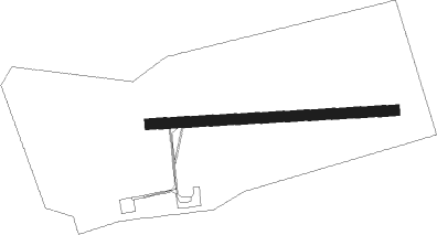
Airport details
| Country | Poland |
| State | Greater Poland Voivodeship |
| Region | |
| Airspace | Warsaw Ctr |
| Municipality | gmina Kazimierz Biskupi |
| Elevation | 360ft (110m) |
| Timezone | GMT +1 |
| Coordinates | 52.31932, 18.16216 |
| Magnetic var | |
| Type | land |
| Available since | X-Plane v10.40 |
| ICAO code | EPKB |
| IATA code | n/a |
| FAA code | n/a |
Communication
Nearby Points of Interest:
Church of Presentation of Virgin Mary in Bieniszew
-4 Wolności Square in Konin
-7 Wolności Square in Konin
-16 Wolności Square in Konin
-Konin town hall
-2 Kościelna Street in Konin
-82, 3 Maja Street in Konin
-Kościół Świętych Apostołów Piotra i Pawła w Kowalewie-Opactwie
-Saint Stanislaus church in Kramsk
-Kościół Świętej Trójcy w Skarboszewie
-Pałac w Paruszewie
-Cemetery in Witkowo
-Kościół św. Marcina w Ostrowitem Prymasowskim
-Manor in Kołaczkowo
-Holy Name, Our Lady and Saint Joseph church in Szydłowo
-Kościół św. Mateusza w Gębicach
-Kościół św. Wawrzyńca w Lubotyniu
-Saint Michael Archangel church in Dębno Poproboszczowskie
-Dwór w Gorazdowie
-Kościół poewangelicki w Babiaku
-Lutheran church in Kwieciszewo
-Saint Procopius church in Strzelno
-Saint James church in Piotrków Kujawski
-2 Grodzka Street in Koło
-Kościół Matki Boskiej Częstochowskiej w Mąkoszynie
Nearby beacons
| code | identifier | dist | bearing | frequency |
|---|---|---|---|---|
| NG | POWIDZ NDB | 10.3 | 281° | 322 |
| NT | POWIDZ NDB | 10.8 | 281° | 303 |
| TPW | POWIDZ TACAN | 11.9 | 280° | 115.55 |
| TIR | INOWROCLAW TACAN | 30.8 | 18° | 109.25 |
| NR | INOWROCLAW NDB | 31.6 | 19° | 262 |
| NRD | INOWROCLAW NDB | 32.4 | 21° | 444 |
| TLY | LECZYCA TACAN | 40.9 | 108° | 110.10 |
| BYZ | BYDGOSZCZ VOR/DME | 47.3 | 346° | 112.70 |
Disclaimer
The information on this website is not for real aviation. Use this data with the X-Plane flight simulator only! Data taken with kind consent from X-Plane 12 source code and data files. Content is subject to change without notice.