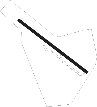
Czechowice-dziedzice - Bielsko-biala Kaniow
Airport details
| Country | Poland |
| State | Silesian Voivodeship |
| Region | EP |
| Airspace | Warsaw Ctr |
| Municipality | Kaniów |
| Elevation | 833ft (254m) |
| Timezone | GMT +1 |
| Coordinates | 49.93990, 19.02158 |
| Magnetic var | |
| Type | land |
| Available since | X-Plane v10.40 |
| ICAO code | EPKW |
| IATA code | QEO |
| FAA code | n/a |
Communication
| Bielsko-Biala Kaniow Kaniow Radio | 136.425 |
| Bielsko-Biala Kaniow Krakow Approach | 121.075 |
Nearby Points of Interest:
Pałac w Rudołtowicach
-Habsburg Palace in Bestwina
-Church of Saint Catherine in Czechowice-Dziedzice
-Town hall in Pszczyna
-Kościół ewangelicki w Międzyrzeczu Górnym
-Stare Bielsko Gord
-28 Krasińskiego Street in Bielsko-Biała
-13 3 Maja Street in Bielsko-Biała
-Zipser's Villa in Bielsko-Biała
-Manor house in Bielsko-Biała-Hałcnów
-Old Town in Bielsko-Biała
-John Cantius chapel in Kęty
-Kościół Zmartwychwstania Pańskiego w Jasienicy
-Auschwitz death wall
-Auschwitz
-Jewish cemetery in Kęty
-Palace in Jaworze
-Kaplica św. Jacka w Oświęcimiu
-Manor house in Strumień
-Kościół św. Barbary w Strumieniu
-Kościół św. Marii Magdaleny w Tychach
-Classicistic palace in Baranowice
-Jewish cemetery in Andrychów
-Pałacyk w Orzeszu-Woszczycach
-Mikołów town hall
Nearby beacons
| code | identifier | dist | bearing | frequency |
|---|---|---|---|---|
| PSZ | DME | 7.2 | 287° | 116.90 |
| KAK | KRAKOW VOR/DME | 30.6 | 80° | 112.80 |
| KAX | KATOWICE VOR/DME | 32.3 | 7° | 114.80 |
| N | NADA (OSTRAVA) NDB | 36.8 | 256° | 258 |
| OTA | OSTRAVA VOR/DME | 38.2 | 255° | 117.45 |
| R | RADA (OSTRAVA) NDB | 39.5 | 254° | 534 |
| Z | HLINIK (ZILINA) NDB | 45.8 | 211° | 508 |
| ZLA | ZILINA NDB | 48.5 | 215° | 404 |
| NTA | TARG DME | 51.3 | 122° | 115.95 |
| WIE | DME | 60.1 | 331° | 109.65 |
Disclaimer
The information on this website is not for real aviation. Use this data with the X-Plane flight simulator only! Data taken with kind consent from X-Plane 12 source code and data files. Content is subject to change without notice.