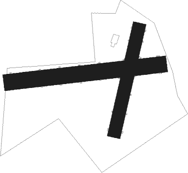
Starogard Gdański - Linowiec
Airport details
| Country | Poland |
| State | Pomeranian Voivodeship |
| Region | |
| Airspace | Warsaw Ctr |
| Municipality | gmina Starogard Gdański |
| Elevation | 333ft (101m) |
| Timezone | GMT +1 |
| Coordinates | 54.00654, 18.50094 |
| Magnetic var | |
| Type | land |
| Available since | X-Plane v10.40 |
| ICAO code | EPLI |
| IATA code | n/a |
| FAA code | n/a |
Communication
| Linowiec Linowiec-Radio | 118.050 |
Nearby beacons
| code | identifier | dist | bearing | frequency |
|---|---|---|---|---|
| NE | PRUSZCZ GDANSKI NDB | 15.9 | 40° | 300 |
| NET | PRUSZCZ GDANSKI NDB | 16.4 | 46° | 370 |
| TMB | MALBORK TACAN | 22.4 | 88° | 117.10 |
| GZD | GDANSK VOR/DME | 23 | 349° | 116.10 |
| NB | MALBORK NDB | 23.6 | 88° | 345 |
| KMI | DME | 25.5 | 73° | 116.80 |
| GRU | GRUDZIADZ VOR/DME | 30.8 | 150° | 114.60 |
| NWO | OKSYWIE (GDYNIA) NDB | 32.6 | 7° | 494 |
| NW | OKSYWIE (GDYNIA) NDB | 33.5 | 4° | 290 |
| ML | CEWICE NDB | 34.2 | 303° | 311 |
| TOW | OKSYWIE (GDYNIA) TACAN | 34.5 | 1° | 113.50 |
| M | CEWICE NDB | 35 | 301° | 423 |
| NO | OKSYWIE (GDYNIA) NDB | 35.3 | 359° | 290 |
| TCW | CEWICE TACAN | 35.6 | 299° | 113.95 |
| NOW | OKSYWIE (GDYNIA) NDB | 36.6 | 356° | 494 |
| WIC | DME | 49.6 | 309° | 108 |
| BYZ | BYDGOSZCZ VOR/DME | 57.7 | 210° | 112.70 |
Disclaimer
The information on this website is not for real aviation. Use this data with the X-Plane flight simulator only! Data taken with kind consent from X-Plane 12 source code and data files. Content is subject to change without notice.

