Mirosławiec - Miroslawiec
Airport details
| Country | Poland |
| State | West Pomeranian Voivodeship |
| Region | EP |
| Airspace | Warsaw Ctr |
| Municipality | gmina Mirosławiec |
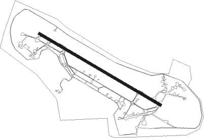
| Elevation | 495ft (151m) |
| Timezone | GMT +1 |
| Coordinates | 53.39500, 16.08278 |
| Magnetic var | |
| Type | land |
| Available since | X-Plane v10.32 |
| ICAO code | EPMI |
| IATA code | n/a |
| FAA code | n/a |
Communication
| MIROSLAWIEC MIROSLAWIEC TOWER | 133.075 |
| MIROSLAWIEC MIROSLAWIEC ApproachROACH | 126.575 |
Approach frequencies
| ILS-cat-I | RW30 | 110.9 | 18.00mi |
| 3° GS | RW30 | 110.9 | 18.00mi |
Nearby Points of Interest:
Immaculate Conception church in Mirosławiec
-Relicts of Mirosławiec Castle
-Kościół św. Jakuba Apostoła w Bronikowie
-Saint Catherine of Alexandria church in Marcinkowice
-Our Lady Queen of Poland church in Kalisz Pomorski
-Castle in Złocieniec
-Palace in Darskowo
-Czaplinek town hall
-Kościół Podwyższenia Krzyża Świętego w Czaplinku
-Kościół Narodzenia Najświętszej Maryi Panny w Karsiborze
-Powiat office in Drawsko Pomorskie
-Resurection Church in Drawsko Pomorskie
-Our Lady of the Rosary church in Martew
-Church of the Visitation in Strzaliny
-Drawno Castle
-Our Lady of Perpetual Help church in Drawno
-Town hall in Wałcz
-Ruins of the church in Ostrowite
-Christ the King church in Recz
Nearby beacons
| code | identifier | dist | bearing | frequency |
|---|---|---|---|---|
| TMI | MIROSLAWIEC TACAN | 0.5 | 301° | 115.35 |
| NA | MIROSLAWIEC NDB | 1.1 | 112° | 297 |
| CZA | DME | 10.3 | 63° | 117 |
| ND | SWIDWIN NDB | 24.6 | 330° | 280 |
| TSN | SWIDWIN TACAN | 24.7 | 329° | 116 |
| DRE | DME | 35.8 | 203° | 115.30 |
| TZE | DME | 60.2 | 51° | 113.80 |
| LAW | LAWICA (POZNAN) VOR/DME | 64.3 | 142° | 115.80 |
Disclaimer
The information on this website is not for real aviation. Use this data with the X-Plane flight simulator only! Data taken with kind consent from X-Plane 12 source code and data files. Content is subject to change without notice.