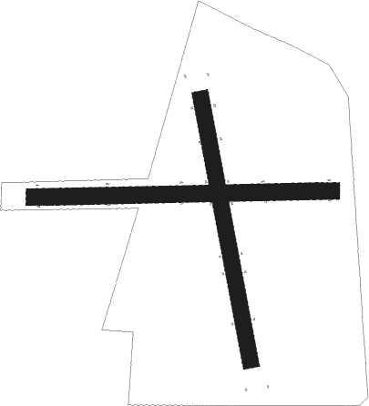
Sobótka - Miroslawice
Airport details
| Country | Poland |
| State | Lower Silesian Voivodeship |
| Region | EP |
| Airspace | Warsaw Ctr |
| Municipality | Mirosławice |
| Elevation | 561ft (171m) |
| Timezone | GMT +1 |
| Coordinates | 50.95917, 16.77028 |
| Magnetic var | |
| Type | land |
| Available since | X-Plane v10.40 |
| ICAO code | EPMR |
| IATA code | n/a |
| FAA code | n/a |
Communication
Nearby Points of Interest:
Mirosławice, Lower Silesian Voivodeship
-Palace in Kamionna
-Zamek w Rogowie Sobóckim
-Kościół św. Stanisława Biskupa i Męczennika w Starym Zamku
-Oficyna pałacowa, ob. dom
-Manor in Górzyce
-Palace in Gniechowice
-Palace in Milin
-Palace in Krobielowice
-Sobótka-Górka Castle
-Kąty Wrocławskie town hall
-Saints Peter and Paul church in Kąty Wrocławskie
-Pałac w Maniowie Małym
-Palace in Krzyżowice
-Palace in Wierzbice
-Tower house in Mietków
-Manor in Borzygniew
-Palace in Świątniki
-Palace in Kobierzyce
-Manor in Gola Świdnicka
-Pałac w Szczepanowie
-Palace in Chmielów
-Domanice Palace
-Kościół św. Anny w Domanicach
-Kościół św. Stanisława w Bukowie

Nearby beacons
| code | identifier | dist | bearing | frequency |
|---|---|---|---|---|
| WCL | WROCLAW VOR/DME | 9.7 | 48° | 111.65 |
| TBN | GORNY DME | 23.3 | 49° | 113.60 |
| PK | PARDUBICE NDB | 67.6 | 225° | 432 |
| P | PARDUBICE NDB | 68.4 | 227° | 888 |
Disclaimer
The information on this website is not for real aviation. Use this data with the X-Plane flight simulator only! Data taken with kind consent from X-Plane 12 source code and data files. Content is subject to change without notice.