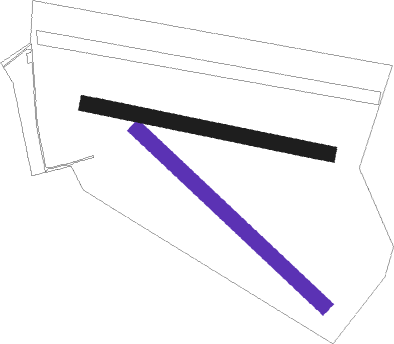
Nasielsk - Chrcynno
Airport details
| Country | Poland |
| State | Masovian Voivodeship |
| Region | |
| Airspace | Warsaw Ctr |
| Municipality | Chrcynno |
| Elevation | 350ft (107m) |
| Timezone | GMT +1 |
| Coordinates | 52.57403, 20.86854 |
| Magnetic var | |
| Type | land |
| Available since | X-Plane v10.40 |
| ICAO code | EPNC |
| IATA code | n/a |
| FAA code | n/a |
Communication
Nearby beacons
| code | identifier | dist | bearing | frequency |
|---|---|---|---|---|
| MOL | MODLIN VOR/DME | 10 | 237° | 116.60 |
| WAR | ZABOROWEK VOR/DME | 20.4 | 214° | 114.90 |
| OKC | OKECIE (WARSAW) VOR/DME | 24.5 | 167° | 113.45 |
| DIA | DME | 32.3 | 31° | 117.95 |
| TMM | MINSK MAZOWIECKI TACAN | 37 | 115° | 117.05 |
| NF | MINSK MAZOWIECKI NDB | 37.7 | 115° | 282 |
| LIN | DME | 39.9 | 156° | 113.10 |
| KRN | DME | 40.7 | 214° | 117.80 |
| TTM | TOMASZOW MAZOWIECKI TACAN | 65.7 | 218° | 110.70 |
| NP | TOMASZOW MAZOWIECKI NDB | 65.9 | 217° | 437 |
| NED | DEBLIN NDB | 69.2 | 136° | 465 |
Disclaimer
The information on this website is not for real aviation. Use this data with the X-Plane flight simulator only! Data taken with kind consent from X-Plane 12 source code and data files. Content is subject to change without notice.

