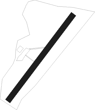
Nowy Sącz - Lososina Dolna
Airport details
| Country | Poland |
| State | Lesser Poland Voivodeship |
| Region | EP |
| Airspace | Warsaw Ctr |
| Municipality | Łososina Dolna |
| Elevation | 833ft (254m) |
| Timezone | GMT +1 |
| Coordinates | 49.74554, 20.62354 |
| Magnetic var | |
| Type | land |
| Available since | X-Plane v10.40 |
| ICAO code | EPNL |
| IATA code | n/a |
| FAA code | n/a |
Communication
Nearby Points of Interest:
Church of the Visitation in Iwkowa
-Our Lady of the Rosary church in Przydonica
-Town Hall in Nowy Sącz
-Immaculate Conception church in Nowy Sącz
-Monastery in Zakliczyn
-Town hall in Zakliczyn
-Manor house in Świdnik (powiat limanowski)
-Park dworski w Świdniku
-Uszew
-Poor Clare Nuns monastery in Stary Sącz
-Saint Margaret of Antioch
-Zespół kościoła Wniebowzięcia Najświętszej Maryi Panny w Nowym Wiśniczu
-Nowy Wiśnicz Castle
-Nowy Wiśnicz Town Hall
-Kościół Matki Boskiej Gromnicznej w Siemiechowie
-Zamek Trzewlin
-Jewish cemetery in Brzesko
-Ciężkowice town hall
-World War I Cemetery nr 132 in Bobowa
-Town hall in Grybów
-Kościół parafialny św. Bartłomieja
-Saint Demetrius church in Bogusza
-Dąmbski Palace in Wojnicz
-Church of Saint Lawrence in Wojnicz
-Cmentarz Żydowski w Bochni
Nearby beacons
| code | identifier | dist | bearing | frequency |
|---|---|---|---|---|
| KTN | DME | 28.8 | 182° | 114.10 |
| OLX | DME | 30.4 | 34° | 115.40 |
| NTA | TARG DME | 35.2 | 238° | 115.95 |
| KAK | KRAKOW VOR/DME | 37.9 | 292° | 112.80 |
| PE | TATRY EAST NDB | 41.6 | 195° | 438 |
| PPD | TATRY NDB | 42 | 202° | 317 |
| PPD | TATRY VOR/DME | 42.2 | 202° | 112.10 |
| PW | TATRY WEST NDB | 45.3 | 220° | 418 |
| JED | DME | 56 | 338° | 115.60 |
| DUB | DME | 59.3 | 134° | 108.65 |
| CRT | DME | 61.4 | 226° | 116.75 |
Disclaimer
The information on this website is not for real aviation. Use this data with the X-Plane flight simulator only! Data taken with kind consent from X-Plane 12 source code and data files. Content is subject to change without notice.