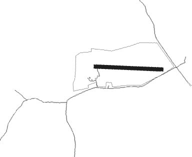
Przywidz - Przywidz-katarynki
Airport details
| Country | Poland |
| State | Pomeranian Voivodeship |
| Region | |
| Airspace | Warsaw Ctr |
| Municipality | gmina Przywidz |
| Elevation | 810ft (247m) |
| Timezone | GMT +1 |
| Coordinates | 54.21602, 18.33325 |
| Magnetic var | |
| Type | land |
| Available since | X-Plane v10.40 |
| ICAO code | EPPD |
| IATA code | n/a |
| FAA code | n/a |
Communication
Nearby beacons
| code | identifier | dist | bearing | frequency |
|---|---|---|---|---|
| GZD | GDANSK VOR/DME | 10.8 | 28° | 116.10 |
| NE | PRUSZCZ GDANSKI NDB | 13 | 85° | 300 |
| NET | PRUSZCZ GDANSKI NDB | 14.5 | 87° | 370 |
| ML | CEWICE NDB | 21.4 | 293° | 311 |
| NWO | OKSYWIE (GDYNIA) NDB | 21.5 | 35° | 494 |
| NW | OKSYWIE (GDYNIA) NDB | 22.1 | 31° | 290 |
| M | CEWICE NDB | 22.4 | 291° | 423 |
| TOW | OKSYWIE (GDYNIA) TACAN | 22.8 | 25° | 113.50 |
| TCW | CEWICE TACAN | 23.2 | 289° | 113.95 |
| NO | OKSYWIE (GDYNIA) NDB | 23.4 | 23° | 290 |
| NOW | OKSYWIE (GDYNIA) NDB | 24.4 | 17° | 494 |
| KMI | DME | 28.5 | 91° | 116.80 |
| TMB | MALBORK TACAN | 30.5 | 103° | 117.10 |
| NB | MALBORK NDB | 31.4 | 103° | 345 |
| WIC | DME | 36 | 305° | 108 |
| GRU | GRUDZIADZ VOR/DME | 44.6 | 147° | 114.60 |
Disclaimer
The information on this website is not for real aviation. Use this data with the X-Plane flight simulator only! Data taken with kind consent from X-Plane 12 source code and data files. Content is subject to change without notice.
