Gądki - Zerniki
Airport details
| Country | Poland |
| State | Greater Poland Voivodeship |
| Region | |
| Airspace | Warsaw Ctr |
| Municipality | Żerniki |
| Elevation | 265ft (81m) |
| Timezone | GMT +1 |
| Coordinates | 52.32104, 17.03685 |
| Magnetic var | |
| Type | land |
| Available since | X-Plane v10.40 |
| ICAO code | EPZE |
| IATA code | n/a |
| FAA code | n/a |
Communication
| Zerniki Zerniki Radio | 122.200 |
Nearby Points of Interest:
Kobylepole train station
-Dwór na Starołęce w Poznaniu
-Kórnik town hall
-16 Bema Street in Poznań
-Town hall in Kórnik-Bnin
-Saint Hedwig church in Siekierki Wielkie
-Willa Brunona Hermanna w Poznaniu
-Gas-works on Grobla Street in Poznań
-107 Górna Wilda Street in Poznań
-1 Cegielskiego Street in Poznań
-62 Przemysłowa Street in Poznań
-2 Curie-Skłodowskiej Square in Poznań
-33 Strzelecka Street in Poznań
-13 Różana Street in Poznań
-22 Grobla Street in Poznań
-30 Niedziałkowskiego Street in Poznań
-20 Wierzbięcice Street in Poznań
-10/11 Ostrówek Street in Poznań
-Parowozownia Osobowa Poznań Główny
-Episcopal Palace in Poznań
-Puszczykowo
-Budynek Pebeco w Poznaniu
-Ostrów Tumski, Poznań
-Psałteria w Poznaniu
-Kolegium Jezuickie w Poznaniu
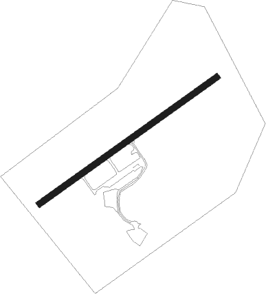
Runway info
| Runway 06 / 24 | ||
| length | 617m (2024ft) | |
| bearing | 70° / 250° | |
| width | 18m (59ft) | |
| surface | asphalt | |
| displ threshold | 50m (164ft) / 51m (167ft) | |
Nearby beacons
| code | identifier | dist | bearing | frequency |
|---|---|---|---|---|
| NK | KRZESINY (POZNAN) NDB | 1.5 | 272° | 489 |
| TKS | KRZESINY (POZNAN) TACAN | 2.6 | 280° | 111.50 |
| LAW | LAWICA (POZNAN) VOR/DME | 9.7 | 296° | 115.80 |
| CMP | CZEMPIN VOR/DME | 16.2 | 239° | 114.50 |
| TPW | POWIDZ TACAN | 30 | 86° | 115.55 |
| NT | POWIDZ NDB | 31.1 | 86° | 303 |
| NG | POWIDZ NDB | 31.5 | 87° | 322 |
| BYZ | BYDGOSZCZ VOR/DME | 57.7 | 50° | 112.70 |
Disclaimer
The information on this website is not for real aviation. Use this data with the X-Plane flight simulator only! Data taken with kind consent from X-Plane 12 source code and data files. Content is subject to change without notice.