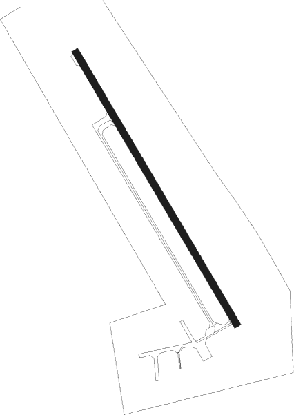
Camrose
Airport details
| Country | Canada |
| State | Alberta |
| Region | CY |
| Airspace | Edmonton Ctr |
| Municipality | Camrose |
| Elevation | 2423ft (739m) |
| Timezone | GMT -7 |
| Coordinates | 53.03982, -112.81625 |
| Magnetic var | |
| Type | land |
| Available since | X-Plane v10.40 |
| ICAO code | EQ3 |
| IATA code | n/a |
| FAA code | n/a |
Communication
| Camrose CTAF | 122.800 |
Nearby beacons
| code | identifier | dist | bearing | frequency |
|---|---|---|---|---|
| 2K | CAMROSE NDB | 0.4 | 159° | 405 |
| ZAB | LEDUC (EDMONTON) NDB | 27.1 | 287° | 215 |
| ZZD | CALMAR (EDMONTON) NDB | 33 | 284° | 308 |
| D3 | PONOKA INDUS NDB | 35.7 | 246° | 363 |
| ZET | DEVON (EDMONTON) NDB | 36 | 290° | 292 |
| X5 | VEGREVILLE NDB | 40 | 59° | 225 |
| EB | NAMAO (EDMONTON) NDB | 44.2 | 314° | 256 |
Disclaimer
The information on this website is not for real aviation. Use this data with the X-Plane flight simulator only! Data taken with kind consent from X-Plane 12 source code and data files. Content is subject to change without notice.