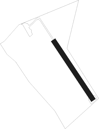
Knivsta - Hova
Airport details
| Country | Sweden |
| State | [Other] |
| Region | |
| Airspace | Sweden Ctr |
| Municipality | Sigtuna kommun |
| Elevation | 28ft (9m) |
| Timezone | GMT +1 |
| Coordinates | 59.67400, 17.78011 |
| Magnetic var | |
| Type | land |
| Available since | X-Plane v10.40 |
| ICAO code | ES03 |
| IATA code | n/a |
| FAA code | n/a |
Communication
Nearby Points of Interest:
Sigtuna city municipality
-Uppland Runic Inscription 460
-Upplands runinskrifter 474
-Uppland Runic Inscription 463
-Uppland Runic Inscription 442
-Uppland Runic Inscription 453
-Odensala socken
-Odensala kyrka
-Uppland Runic Inscription 462
-Knivsta socken
-Upplands runinskrifter 470
-Vassunda socken
-Haga socken
-Uppland Runic Inscription 448
-Uppland Runic Inscription 410
-Uppland Runic Inscription 471
-Uppland Runic Inscription 411
-Tilkyrkan
-Ängby stone
-Husby-Ärlinghundra socken
-Valsta kyrka
-Husby gamla kyrkskola
-Sankt Olofs socken
-Sigtuna box
-Sankt Lars kyrkoruin
Nearby beacons
| code | identifier | dist | bearing | frequency |
|---|---|---|---|---|
| ANW | (STOCKHOLM) DME | 3.2 | 62° | 112.05 |
| ARL | ARLANDA (STOCKHOLM) VOR/DME | 4.2 | 99° | 116 |
| WA | ARLANDA (STOCKHOLM) NDB | 4.2 | 98° | 348 |
| ASW | (STOCKHOLM) DME | 5.3 | 155° | 113.75 |
| ASE | (STOCKHOLM) DME | 5.8 | 102° | 114.45 |
| ANE | (STOCKHOLM) DME | 8.5 | 86° | 113.30 |
| LNA | LENA NDB | 15.1 | 252° | 330 |
| TEB | TEBBY VOR/DME | 15.4 | 109° | 117.10 |
| UP | UPPSALA NDB | 18.5 | 345° | 366 |
| ERK | ERKEN NDB | 21.4 | 68° | 383 |
| COR | CORNER NDB | 26.3 | 216° | 388 |
| HMR | HAMMAR VOR/DME | 40.7 | 45° | 112.60 |
| TRS | TROSA VOR/DME | 45 | 201° | 114.30 |
| PEO | SKAVSTA (STOCKHOLM) NDB | 57.3 | 220° | 398 |
Disclaimer
The information on this website is not for real aviation. Use this data with the X-Plane flight simulator only! Data taken with kind consent from X-Plane 12 source code and data files. Content is subject to change without notice.