Ronneby - Ronneby Kallinge
Airport details
| Country | Sweden |
| State | Blekinge län |
| Region | ES |
| Airspace | Sweden Ctr |
| Municipality | Ronneby kommun |
| Elevation | 188ft (57m) |
| Timezone | GMT +1 |
| Coordinates | 56.25701, 15.27219 |
| Magnetic var | |
| Type | land |
| Available since | X-Plane v10.40 |
| ICAO code | ESDF |
| IATA code | RNB |
| FAA code | n/a |
Communication
| Ronneby Kallinge Ground Control | 121.850 |
| Ronneby Kallinge Tower | 119.200 |
| Ronneby Kallinge Approach Control | 128.450 |
| Ronneby Kallinge Departure Control | 128.450 |
Approach frequencies
| ILS-cat-I | RW19 | 110.7 | 18.00mi |
| ILS-cat-I | RW01 | 108.3 | 18.00mi |
| 3° GS | RW19 | 110.7 | 18.00mi |
| 3° GS | RW01 | 108.3 | 18.00mi |
Nearby Points of Interest:
Ekholms fotoatelje
-Ronneby socken
-Borgaberget
-Ronneby stad
-Möljeryds kyrka
-Edestads socken
-Ronneby brunn
-Möllerydsstugan
-Runamo
-Johannishus Castle
-Hjortsberga parish
-Hjortsberga grave field
-Bräkne-Hoby socken
-Listerby kyrka
-Listerby socken
-Hakarpsgården
-Förkärla
-Backaryd socken
-Tvings socken
-Tvings kyrka
-Fridlevstads socken
-Fridlevstads kyrka
-Tromtö House
-Åryds socken
-Danmarks runeindskrifter 361
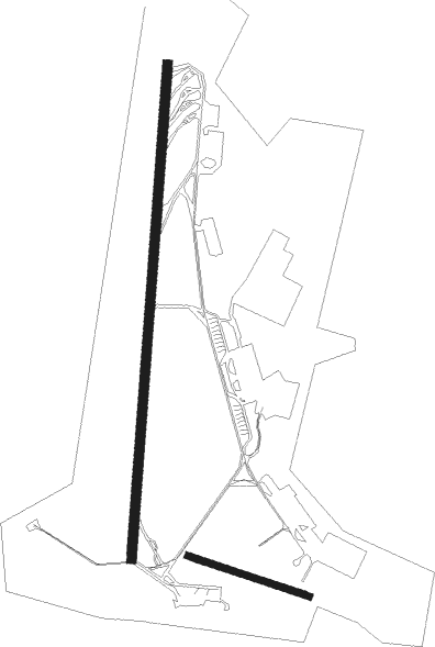
Runway info
Runway 01 / 19  | ||
| length | 2328m (7638ft) | |
| bearing | 15° / 195° | |
| width | 45m (148ft) | |
| surface | asphalt | |
| blast zone | 100m (328ft) / 100m (328ft) | |
| Runway 12 / 30 | ||
| length | 600m (1969ft) | |
| bearing | 103° / 283° | |
| width | 30m (98ft) | |
| surface | grass | |
| blast zone | 0m (0ft) / 56m (184ft) | |
Nearby beacons
| code | identifier | dist | bearing | frequency |
|---|---|---|---|---|
| RON | DME | 0.3 | 251° | 109.20 |
| LF | RONNEBY NDB | 3.8 | 202° | 380 |
| LP | RONNEBY NDB | 4.9 | 9° | 318 |
| VX | VAXJO NDB | 40.7 | 316° | 329 |
| KM | KALMAR NDB | 43.2 | 63° | 366 |
| JX | VAXJO NDB | 47.5 | 325° | 349 |
Departure and arrival routes
| Transition altitude | 5000ft |
| STAR starting points | distance | inbound heading | |
|---|---|---|---|
| RW19 | |||
| TEML2F | 25.5 | 195° | |
| MADE5F | 28.3 | 242° | |
Instrument approach procedures
| runway | airway (heading) | route (dist, bearing) |
|---|---|---|
| RW01 | DF550 (332°) | DF550 2000ft SUXEM (5mi, 275°) 2000ft |
| RW01 | DF711 (53°) | DF711 2400ft SUXEM (5mi, 95°) 2000ft |
| RW01 | DF712 (17°) | DF712 2000ft SUXEM (5mi, 15°) 2000ft |
| RNAV | SUXEM 2000ft DF713 (4mi, 15°) 2000ft ESDF (6mi, 21°) 231ft (3459mi, 195°) 3000ft (turn) 3000ft | |
| RW19 | DF531 (228°) | DF531 2200ft EKLOV (5mi, 275°) 2200ft |
| RW19 | DF532 (194°) | DF532 2800ft EKLOV (5mi, 195°) 2200ft |
| RW19 | DF850 (152°) | DF850 2400ft EKLOV (5mi, 95°) 2200ft |
| RNAV | EKLOV 2200ft DF533 (4mi, 195°) 2200ft ESDF (7mi, 191°) 238ft (3459mi, 195°) 3000ft (turn) 3000ft |
Disclaimer
The information on this website is not for real aviation. Use this data with the X-Plane flight simulator only! Data taken with kind consent from X-Plane 12 source code and data files. Content is subject to change without notice.