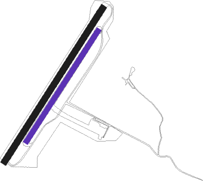
Hässleholm - Hässleholm Bokeberg
Airport details
| Country | Sweden |
| State | Skåne län |
| Region | ES |
| Airspace | Sweden Ctr |
| Municipality | Hässleholms kommun |
| Elevation | 104ft (32m) |
| Timezone | GMT +1 |
| Coordinates | 56.13361, 13.87889 |
| Magnetic var | |
| Type | land |
| Available since | X-Plane v10.40 |
| ICAO code | ESFA |
| IATA code | n/a |
| FAA code | n/a |
Communication
| Hässleholm Bokeberg Hässleholm RDO | 123.600 |
Nearby Points of Interest:
Ignaberga socken
-Vinslövs socken
-Stainabjär
-Sörby socken
-Stoby socken
-Gumlösa socken
-Norra Sandby socken
-Nävlinge socken
-Norra Strö socken
-Vankiva socken
-Hällristningarna i Frännarp
-Finja socken
-Önnestads socken
-Brönnestads socken
-Kviinge socken
-Gryts socken
-Norra Mellby socken
-Knislinge socken
-Färlövs socken
-Färlövstenen
-Djurröds socken
-Torsebro krutbruk
-Ballingstorpsgården
-Mala stenar
-Matteröds socken

Nearby beacons
| code | identifier | dist | bearing | frequency |
|---|---|---|---|---|
| OEM | KRISTIANSTAD NDB | 11.4 | 123° | 363 |
| KD | KRISTIANSTAD NDB | 17.1 | 143° | 375 |
| LJU | LJUNGBYHED VOR/DME | 22.8 | 266° | 113.40 |
| AH | ANGELHOLM NDB | 33.6 | 278° | 417 |
| SUP | STURUP (MALMO) VOR/DME | 39.7 | 220° | 113 |
| VX | VAXJO NDB | 51.2 | 49° | 329 |
| JX | VAXJO NDB | 59.3 | 46° | 349 |
Disclaimer
The information on this website is not for real aviation. Use this data with the X-Plane flight simulator only! Data taken with kind consent from X-Plane 12 source code and data files. Content is subject to change without notice.