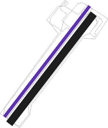
Borås - Boras Viared
Airport details
| Country | Sweden |
| State | Västra Götalands län |
| Region | ES |
| Airspace | Sweden Ctr |
| Municipality | Borås kommun |
| Elevation | 587ft (179m) |
| Timezone | GMT +1 |
| Coordinates | 57.69584, 12.84500 |
| Magnetic var | |
| Type | land |
| Available since | X-Plane v10.40 |
| ICAO code | ESGE |
| IATA code | n/a |
| FAA code | n/a |
Communication
Nearby beacons
| code | identifier | dist | bearing | frequency |
|---|---|---|---|---|
| SDH | DME | 3.8 | 357° | 115.65 |
| NL | LANDVETTER (GOTEBORG) NDB | 16.1 | 274° | 369 |
| LAV | LANDVETTER (GOTEBORG) VOR/DME | 17.9 | 266° | 114.60 |
| HGG | DME | 18.5 | 258° | 113.95 |
| PGG | DME | 20.9 | 273° | 113.35 |
| SL | LANDVETTER (GOTEBORG) NDB | 20.9 | 261° | 342 |
| BAK | DME | 29.1 | 261° | 112.70 |
| PG | TROLLHATTAN-VANERSBORG NDB | 36.7 | 323° | 325 |
| SG | SATENAS NDB | 41.3 | 348° | 409 |
| FM | TROLLHATTAN-VANERSBORG NDB | 43.6 | 320° | 399 |
| LG | SATENAS NDB | 45.7 | 350° | 309 |
| LT | HALMSTAD NDB | 53.9 | 180° | 336 |
Disclaimer
The information on this website is not for real aviation. Use this data with the X-Plane flight simulator only! Data taken with kind consent from X-Plane 12 source code and data files. Content is subject to change without notice.

