Jönköping - Jonkoping
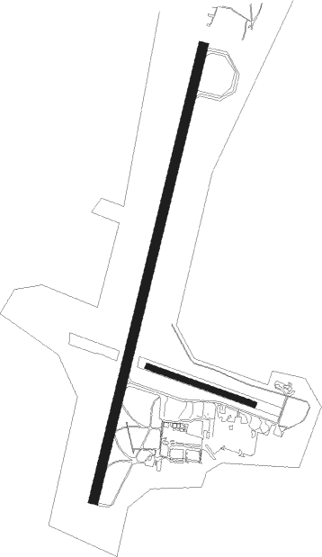
Airport details
| Country | Sweden |
| State | Jönköpings län |
| Region | ES |
| Airspace | Sweden Ctr |
| Municipality | Jönköping |
| Elevation | 741ft (226m) |
| Timezone | GMT +1 |
| Coordinates | 57.75111, 14.07490 |
| Magnetic var | |
| Type | land |
| Available since | X-Plane v10.40 |
| ICAO code | ESGJ |
| IATA code | JKG |
| FAA code | n/a |
Communication
| Jonkoping LANDVETTER ATIS | 114.600 |
| Jonkoping Tower | 118.250 |
Approach frequencies
| ILS-cat-I | RW01 | 111.5 | 18.00mi |
| ILS-cat-I | RW19 | 109.9 | 18.00mi |
| 3° GS | RW01 | 111.5 | 18.00mi |
| 3° GS | RW19 | 109.9 | 18.00mi |
Nearby Points of Interest:
Sandseryd Church
-Sandseryds socken
-Dunkehalla Chapel
-Järstorps socken
-Jönköping castle and fortifications
-Jönköping Town
-Göta hovrätt
-Gamla rådhuset, Jönköping
-Old residence
-Björnebergs gård
-Barnarp socken
-Eastern Chapel
-Månsarps socken
-Bankeryd socken
-Sanna Church
-Rogberga socken
-Slottsvillan
-Angerdshestra socken
-Hakarps socken
-Bottnaryd socken
-Gunillaberg
-Habo socken
-Mulseryds socken
-Smålands runinskrifter 55, Eckersholm
-Öggestorps socken

Nearby beacons
| code | identifier | dist | bearing | frequency |
|---|---|---|---|---|
| JON | JONKOPING VOR/DME | 0.6 | 315° | 115.80 |
| OJ | JONKOPING NDB | 3.5 | 219° | 403 |
| OA | JONKOPING NDB | 4.7 | 26° | 338 |
| SS | SKOVDE NDB | 34.9 | 344° | 390 |
| KBG | KARLSBORG NDB | 45 | 23° | 312 |
| NS | SKOVDE NDB | 46.5 | 355° | 384 |
| JX | VAXJO NDB | 50.4 | 138° | 349 |
| VX | VAXJO NDB | 57.3 | 145° | 329 |
Departure and arrival routes
| Transition altitude | 5000ft |
| SID end points | distance | outbound heading | |
|---|---|---|---|
| RW01 | |||
| NEGA5B, NEGA2H | 31mi | 71° | |
| BENG2H, BENG4B | 24mi | 84° | |
| DEVN5B, DEVN2H | 32mi | 195° | |
| RW19 | |||
| NEGA2J, NEGA5C | 31mi | 71° | |
| BENG2J, BENG4C | 24mi | 84° | |
| DEVN2J, DEVN6C | 32mi | 195° | |
| STAR starting points | distance | inbound heading | |
|---|---|---|---|
| RW01 | |||
| DEVN3K, DEVN5E | 32.4 | 15° | |
| NEGA3K, NEGA5E | 31.2 | 251° | |
| RW19 | |||
| DEVN3L, DEVN5F | 32.4 | 15° | |
| NEGA5F, NEGA3L | 31.2 | 251° | |
Instrument approach procedures
| runway | airway (heading) | route (dist, bearing) |
|---|---|---|
| RW01 | GJ742 (59°) | GJ742 3200ft GOLAV (5mi, 100°) 2800ft |
| RNAV | GOLAV 2800ft GJ740 (6mi, 31°) 2700ft ESGJ (6mi, 35°) 784ft GJ541 (5mi, 26°) IXOLA (12mi, 99°) 5000ft IXOLA (turn) 5000ft | |
| RW19 | GJ542 (210°) | GJ542 3200ft BAMAX (5mi, 212°) 2800ft |
| RNAV | BAMAX 2800ft GJ540 (6mi, 212°) 2700ft ESGJ (7mi, 208°) 789ft GJ741 (4mi, 218°) IXOLA (15mi, 79°) 5000ft IXOLA (turn) 5000ft |
Holding patterns
| STAR name | hold at | type | turn | heading* | altitude | leg | speed limit |
|---|---|---|---|---|---|---|---|
| NEGA3K | IXOLA | VHF | right | 35 (215)° | > 5000ft | 1.0min timed | 220 |
| *) magnetic outbound (inbound) holding course | |||||||
Disclaimer
The information on this website is not for real aviation. Use this data with the X-Plane flight simulator only! Data taken with kind consent from X-Plane 12 source code and data files. Content is subject to change without notice.