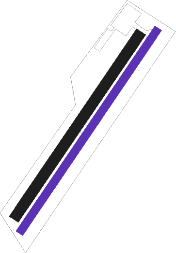
Vårgårda - Vargarda
Airport details
| Country | Sweden |
| State | Västra Götalands län |
| Region | ES |
| Airspace | Sweden Ctr |
| Municipality | Vårgårda kommun |
| Elevation | 319ft (97m) |
| Timezone | GMT +1 |
| Coordinates | 58.03917, 12.78583 |
| Magnetic var | |
| Type | land |
| Available since | X-Plane v10.40 |
| ICAO code | ESGO |
| IATA code | n/a |
| FAA code | n/a |
Communication
Nearby beacons
| code | identifier | dist | bearing | frequency |
|---|---|---|---|---|
| SDH | DME | 16.8 | 169° | 115.65 |
| PG | TROLLHATTAN-VANERSBORG NDB | 17.8 | 301° | 325 |
| SG | SATENAS NDB | 20.6 | 347° | 409 |
| NL | LANDVETTER (GOTEBORG) NDB | 23.2 | 235° | 369 |
| FM | TROLLHATTAN-VANERSBORG NDB | 24.8 | 303° | 399 |
| LG | SATENAS NDB | 25 | 350° | 309 |
| PGG | DME | 26.3 | 243° | 113.35 |
| LAV | LANDVETTER (GOTEBORG) VOR/DME | 27.9 | 232° | 114.60 |
| HGG | DME | 31.5 | 226° | 113.95 |
| SL | LANDVETTER (GOTEBORG) NDB | 32.2 | 232° | 342 |
| BAK | DME | 38.9 | 239° | 112.70 |
| FEN | DME | 54.9 | 331° | 115.35 |
Disclaimer
The information on this website is not for real aviation. Use this data with the X-Plane flight simulator only! Data taken with kind consent from X-Plane 12 source code and data files. Content is subject to change without notice.

