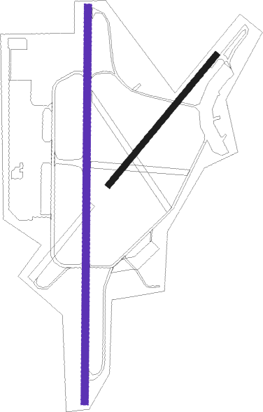
Gothenburg - Goteborg Save
Airport details
| Country | Sweden |
| State | Västra Götalands län |
| Region | ES |
| Airspace | Sweden Ctr |
| Municipality | Gothenburg |
| Elevation | 59ft (18m) |
| Timezone | GMT +1 |
| Coordinates | 57.77948, 11.88164 |
| Magnetic var | |
| Type | land |
| Available since | X-Plane v10.40 |
| ICAO code | ESGP |
| IATA code | GSE |
| FAA code | n/a |
Communication
| Goteborg Save Tower | 124.675 |
| Goteborg Save AFIS | 119.050 |
| Goteborg Save GOTEBORG CON | 124.675 |
Nearby beacons
| code | identifier | dist | bearing | frequency |
|---|---|---|---|---|
| PGG | DME | 10.4 | 99° | 113.35 |
| BAK | DME | 13.8 | 157° | 112.70 |
| LAV | LANDVETTER (GOTEBORG) VOR/DME | 15 | 107° | 114.60 |
| NL | LANDVETTER (GOTEBORG) NDB | 15.1 | 96° | 369 |
| SL | LANDVETTER (GOTEBORG) NDB | 15.5 | 119° | 342 |
| HGG | DME | 18.3 | 115° | 113.95 |
| SDH | DME | 30.7 | 91° | 115.65 |
| PG | TROLLHATTAN-VANERSBORG NDB | 33.6 | 48° | 325 |
| FM | TROLLHATTAN-VANERSBORG NDB | 37.2 | 35° | 399 |
| SG | SATENAS NDB | 44.5 | 54° | 409 |
| LG | SATENAS NDB | 48.3 | 51° | 309 |
| LT | HALMSTAD NDB | 66.7 | 136° | 336 |
Instrument approach procedures
| runway | airway (heading) | route (dist, bearing) |
|---|---|---|
| RW19 | GP401 (187°) | GP401 2300ft GP403 (4mi, 189°) 2000ft |
| RW19 | GP402 (224°) | GP402 2500ft GP403 (4mi, 273°) 2000ft |
| RW19 | GP850 (145°) | GP850 3000ft GP403 (4mi, 93°) 2000ft |
| RNAV | GP403 2000ft GP404 (4mi, 189°) 2000ft ESGP (6mi, 184°) 97ft GP700 (5mi, 197°) GP701 (7mi, 263°) GP850 (17mi, 20°) 3000ft GP850 (turn) 3000ft |
Disclaimer
The information on this website is not for real aviation. Use this data with the X-Plane flight simulator only! Data taken with kind consent from X-Plane 12 source code and data files. Content is subject to change without notice.

