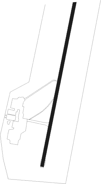
Skövde - Skovde
Airport details
| Country | Sweden |
| State | Västra Götalands län |
| Region | ES |
| Airspace | Sweden Ctr |
| Municipality | Skövde kommun |
| Elevation | 324ft (99m) |
| Timezone | GMT +1 |
| Coordinates | 58.45611, 13.97278 |
| Magnetic var | |
| Type | land |
| Available since | X-Plane v10.40 |
| ICAO code | ESGR |
| IATA code | KVB |
| FAA code | n/a |
Communication
| Skovde AFIS | 122.325 |
Approach frequencies
| ILS-cat-I | RW19 | 108.3 | 18.00mi |
| 3° GS | RW19 | 108.3 | 18.00mi |
Nearby beacons
| code | identifier | dist | bearing | frequency |
|---|---|---|---|---|
| NS | SKOVDE NDB | 4.3 | 27° | 384 |
| SS | SKOVDE NDB | 8 | 208° | 390 |
| KBG | KARLSBORG NDB | 12.9 | 86° | 312 |
| OA | JONKOPING NDB | 38 | 167° | 338 |
| JON | JONKOPING VOR/DME | 41.8 | 172° | 115.80 |
| OJ | JONKOPING NDB | 45.6 | 176° | 403 |
| SKS | KARLSTAD NDB | 59.4 | 323° | 330 |
| KSD | KARLSTAD VOR/DME | 62.4 | 327° | 117.80 |
Instrument approach procedures
| runway | airway (heading) | route (dist, bearing) |
|---|---|---|
| RW01 | IXORU (53°) | IXORU 3200ft GR700 (5mi, 98°) 3200ft |
| RW01 | RERNI (353°) | RERNI 3200ft GR700 (5mi, 278°) 3200ft |
| RW01 | UGMIT (28°) | UGMIT 3200ft GR700 (4mi, 28°) 3200ft |
| RNAV | GR700 3200ft GR703 (6mi, 28°) 3200ft ESGR (8mi, 28°) 374ft GR500 (4mi, 28°) GR703 (12mi, 208°) 3200ft GR703 (turn) 3200ft | |
| RW19 | AGLAL (238°) | AGLAL 3100ft GR501 (5mi, 278°) 2200ft |
| RW19 | OVDID (165°) | OVDID 3100ft GR501 (5mi, 98°) 2200ft |
| RW19 | PIDUM (208°) | PIDUM 2400ft GR501 (4mi, 209°) 2200ft |
| RNAV | GR501 2200ft GR502 (5mi, 208°) 2200ft ESGR (6mi, 208°) 346ft GR702 (3mi, 208°) TOVMU (8mi, 28°) 2300ft TOVMU (turn) 2300ft |
Disclaimer
The information on this website is not for real aviation. Use this data with the X-Plane flight simulator only! Data taken with kind consent from X-Plane 12 source code and data files. Content is subject to change without notice.
