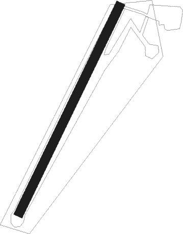
Uddevalla - Uddevalla Rorkarr
Airport details
| Country | Sweden |
| State | Västra Götalands län |
| Region | ES |
| Airspace | Sweden Ctr |
| Municipality | Uddevalla kommun |
| Elevation | 120ft (37m) |
| Timezone | GMT +1 |
| Coordinates | 58.36778, 11.77528 |
| Magnetic var | |
| Type | land |
| Available since | X-Plane v10.40 |
| ICAO code | ESGU |
| IATA code | n/a |
| FAA code | n/a |
Communication
Nearby beacons
| code | identifier | dist | bearing | frequency |
|---|---|---|---|---|
| FM | TROLLHATTAN-VANERSBORG NDB | 16.2 | 91° | 399 |
| PG | TROLLHATTAN-VANERSBORG NDB | 21.1 | 99° | 325 |
| SG | SATENAS NDB | 29.3 | 89° | 409 |
| LG | SATENAS NDB | 30 | 85° | 309 |
| FEN | DME | 36.7 | 44° | 115.35 |
| PGG | DME | 40.4 | 147° | 113.35 |
| NL | LANDVETTER (GOTEBORG) NDB | 42.3 | 138° | 369 |
| LAV | LANDVETTER (GOTEBORG) VOR/DME | 45.7 | 144° | 114.60 |
| SL | LANDVETTER (GOTEBORG) NDB | 48.5 | 150° | 342 |
| BAK | DME | 49.2 | 166° | 112.70 |
| HGG | DME | 50.3 | 146° | 113.95 |
| RG | TUNE (MOSS) NDB | 62.2 | 321° | 381 |
Disclaimer
The information on this website is not for real aviation. Use this data with the X-Plane flight simulator only! Data taken with kind consent from X-Plane 12 source code and data files. Content is subject to change without notice.
