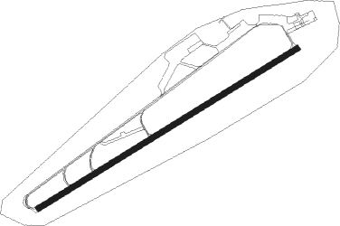
Karlsborg
Airport details
| Country | Sweden |
| State | Västra Götalands län |
| Region | ES |
| Airspace | Sweden Ctr |
| Municipality | Karlsborgs kommun |
| Elevation | 308ft (94m) |
| Timezone | GMT +1 |
| Coordinates | 58.52036, 14.51827 |
| Magnetic var | |
| Type | land |
| Available since | X-Plane v10.40 |
| ICAO code | ESIA |
| IATA code | n/a |
| FAA code | n/a |
Communication
| Karlsborg MIL INFO | 130.000 |
| Karlsborg Approach | 130.000 |
Nearby beacons
| code | identifier | dist | bearing | frequency |
|---|---|---|---|---|
| KBG | KARLSBORG NDB | 4.8 | 255° | 312 |
| NS | SKOVDE NDB | 16 | 271° | 384 |
| SS | SKOVDE NDB | 22.5 | 252° | 390 |
| LCF | MALMEN (LINKOPING) NDB | 32.3 | 102° | 285 |
| RB | OREBRO NDB | 39.8 | 38° | 375 |
| OA | JONKOPING NDB | 43.5 | 210° | 338 |
| JON | JONKOPING VOR/DME | 47.8 | 211° | 115.80 |
| EN | OREBRO NDB | 49.2 | 35° | 400 |
| OJ | JONKOPING NDB | 51.8 | 211° | 403 |
Disclaimer
The information on this website is not for real aviation. Use this data with the X-Plane flight simulator only! Data taken with kind consent from X-Plane 12 source code and data files. Content is subject to change without notice.
