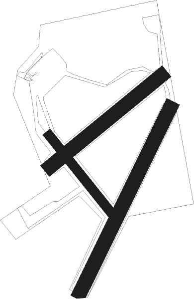
Bälinge - Uppsala Sundbro
Airport details
| Country | Sweden |
| State | Uppsala län |
| Region | ES |
| Airspace | Sweden Ctr |
| Municipality | Uppsala |
| Elevation | 62ft (19m) |
| Timezone | GMT +1 |
| Coordinates | 59.92278, 17.53667 |
| Magnetic var | |
| Type | land |
| Available since | X-Plane v10.40 |
| ICAO code | ESKC |
| IATA code | n/a |
| FAA code | n/a |
Communication
Nearby Points of Interest:
Uppland Runic Inscription 1097
-Uppland Runic Inscription 1100
-Upplands runinskrifter 914
-Åkerby socken
-Upplands runinskrifter NOR1997;27A
-Bälinge socken
-Upplands runinskrifter 1076
-Upplands runinskrifter 1077
-Uppland Runic Inscription 1072
-Upplands runinskrifter 1092
-Upplands runinskrifter 1093
-Uppland Runic Inscription 921
-Börje
-Upplands runinskrifter 912
-Uppland Runic Inscription 1021
-Uppland Runic Inscription 1015
-Uppland Runic Inscription 1014
-Uppland Runic Inscription 1017
-Ärentuna socken
-Uppland Runic Inscription 986
-Uppland Runic Inscription 917
-Jumkil socken
-Uppland Runic Inscription 985
-U 1111
-Upplands runinskrifter 1016

Nearby beacons
| code | identifier | dist | bearing | frequency |
|---|---|---|---|---|
| UP | UPPSALA NDB | 5.8 | 70° | 366 |
| ANW | (STOCKHOLM) DME | 15.7 | 124° | 112.05 |
| WA | ARLANDA (STOCKHOLM) NDB | 19.7 | 125° | 348 |
| ARL | ARLANDA (STOCKHOLM) VOR/DME | 19.8 | 125° | 116 |
| ANE | (STOCKHOLM) DME | 20.9 | 114° | 113.30 |
| ASE | (STOCKHOLM) DME | 21.3 | 124° | 114.45 |
| ASW | (STOCKHOLM) DME | 21.8 | 140° | 113.75 |
| LNA | LENA NDB | 23.6 | 205° | 330 |
| ERK | ERKEN NDB | 24.1 | 92° | 383 |
| LE | VAESTERAAS AB (STOCKHOLM) NDB | 30.6 | 253° | 333 |
| TEB | TEBBY VOR/DME | 30.9 | 120° | 117.10 |
| HMR | HAMMAR VOR/DME | 33.3 | 67° | 112.60 |
| ARS | AROS VOR/DME | 33.5 | 249° | 112.80 |
| RD | VAESTERAAS AB (STOCKHOLM) NDB | 37.2 | 247° | 419 |
| COR | CORNER NDB | 39.7 | 185° | 388 |
| LX | ESKILSTUNA NDB | 46.2 | 232° | 402 |
| TRS | TROSA VOR/DME | 59.1 | 182° | 114.30 |
Disclaimer
The information on this website is not for real aviation. Use this data with the X-Plane flight simulator only! Data taken with kind consent from X-Plane 12 source code and data files. Content is subject to change without notice.