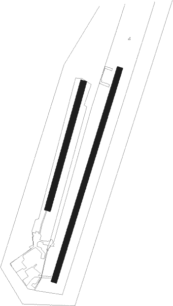
Dala Järna - Dala Jarna
Airport details
| Country | Sweden |
| State | Dalarnas län |
| Region | ES |
| Airspace | Sweden Ctr |
| Municipality | Vansbro kommun |
| Elevation | 771ft (235m) |
| Timezone | GMT +1 |
| Coordinates | 60.55611, 14.37722 |
| Magnetic var | |
| Type | land |
| Available since | X-Plane v10.40 |
| ICAO code | ESKD |
| IATA code | n/a |
| FAA code | n/a |
Communication
Nearby Points of Interest:
Järna kyrka
-Järna socken
-Vansbro järnvägsstation
-Lisskvarngården
-Nås socken
-Äppelbo socken
-Floda socken
-Yttermalungs kapell
-Siljansnäs socken
-Gagnefs kyrka
-Gagnefs socken

Nearby beacons
| code | identifier | dist | bearing | frequency |
|---|---|---|---|---|
| SM | MORA NDB | 20.5 | 29° | 377 |
| NM | MORA NDB | 28.6 | 10° | 403 |
| HT | HAGFORS NDB | 36 | 241° | 345 |
| AB | HAGFORS NDB | 43.3 | 233° | 393 |
Disclaimer
The information on this website is not for real aviation. Use this data with the X-Plane flight simulator only! Data taken with kind consent from X-Plane 12 source code and data files. Content is subject to change without notice.