Mora-siljan
Airport details
| Country | Sweden |
| State | Dalarnas län |
| Region | ES |
| Airspace | Sweden Ctr |
| Municipality | Mora kommun |
| Elevation | 630ft (192m) |
| Timezone | GMT +1 |
| Coordinates | 60.95861, 14.51056 |
| Magnetic var | |
| Type | land |
| Available since | X-Plane v10.40 |
| ICAO code | ESKM |
| IATA code | MXX |
| FAA code | n/a |
Communication
| Mora-Siljan AFIS | 129.850 |
Approach frequencies
| ILS-cat-I | RW16 | 109.7 | 18.00mi |
| 3° GS | RW16 | 109.7 | 18.00mi |
Nearby Points of Interest:
Utmelandsmonumentet
-Mora socken
-Solleröns socken
-Våmhus socken
-Orsa socken
-Hornberga kapell
-Siljansnäs socken
-Rättviks socken
-Venjans socken
-Paviljongen Hvilan
-Matsgården
-Leksands socken
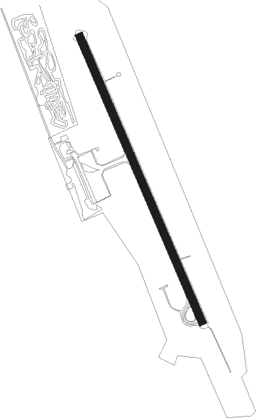
Runway info
| Runway 16 / 34 | ||
| length | 1806m (5925ft) | |
| bearing | 145° / 325° | |
| width | 45m (148ft) | |
| surface | asphalt | |
| blast zone | 0m (0ft) / 4m (13ft) | |
Nearby beacons
| code | identifier | dist | bearing | frequency |
|---|---|---|---|---|
| NM | MORA NDB | 4.5 | 325° | 403 |
| SM | MORA NDB | 4.6 | 145° | 377 |
| BL | BORLANGE NDB | 39.4 | 119° | 421 |
| HT | HAGFORS NDB | 58.1 | 228° | 345 |
Instrument approach procedures
| runway | airway (heading) | route (dist, bearing) |
|---|---|---|
| RW16 | KM500 (190°) | KM500 3900ft KM852 (5mi, 261°) 3400ft |
| RW16 | KM850 (145°) | KM850 3800ft KM852 (5mi, 145°) 3400ft |
| RW16 | KM851 (122°) | KM851 3900ft KM852 (4mi, 81°) 3400ft |
| RNAV | KM852 3400ft KM853 (6mi, 145°) 2280ft ESKM (5mi, 145°) 681ft UNTOB (12mi, 145°) UNTOB (turn) 3400ft | |
| RW34 | KM550 (325°) | KM550 3700ft UNTOB (5mi, 325°) 3400ft |
| RW34 | KM551 (298°) | KM551 3900ft UNTOB (5mi, 261°) 3400ft |
| RW34 | KM700 (9°) | KM700 3900ft UNTOB (5mi, 80°) 3400ft |
| RNAV | UNTOB 3400ft KM552 (6mi, 325°) 2300ft ESKM (6mi, 325°) 668ft KM853 (5mi, 325°) UNTOB (17mi, 145°) 3400ft UNTOB (turn) 3400ft |
Disclaimer
The information on this website is not for real aviation. Use this data with the X-Plane flight simulator only! Data taken with kind consent from X-Plane 12 source code and data files. Content is subject to change without notice.