Emmaboda
Airport details
| Country | Sweden |
| State | Kalmar län |
| Region | |
| Airspace | Sweden Ctr |
| Municipality | Emmaboda kommun |
| Elevation | 441ft (134m) |
| Timezone | GMT +1 |
| Coordinates | 56.60560, 15.60301 |
| Magnetic var | |
| Type | land |
| Available since | X-Plane v10.40 |
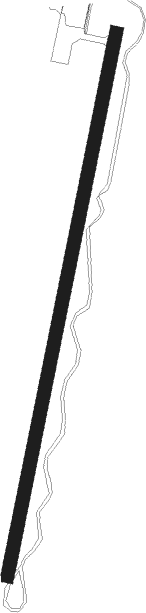
| ICAO code | ESMA |
| IATA code | n/a |
| FAA code | n/a |
Communication
| Emmaboda RDO | 123.150 |
Nearby Points of Interest:
Vissefjärda socken
-Långasjö socken
-Algutsboda Church
-Algutsboda, Sweden
-Örsjö socken, Småland
-Oskars socken
-Saleboda kapell
-Ljuders socken
-Karlslunda socken
-Gullabo socken
-Älmeboda socken
-Sillhövda socken
-Madesjö socken
-Eringsboda socken
-Nybro stad
-Lessebo kyrka
-Sankt Sigfrids socken
-Ekeberga socken
-Södra Sandsjö parish
-Linneryds socken
-Hälleberga socken
-Mortorps socken
-Mortorps kyrka
-Flymens kyrka
-Timmermannens kapell
Nearby beacons
| code | identifier | dist | bearing | frequency |
|---|---|---|---|---|
| LP | RONNEBY NDB | 19.1 | 230° | 318 |
| KM | KALMAR NDB | 22.3 | 77° | 366 |
| KAL | KALMAR VOR/DME | 22.9 | 83° | 111.60 |
| RON | DME | 23.9 | 224° | 109.20 |
| LF | RONNEBY NDB | 27.3 | 221° | 380 |
| MBL | DME | 33.3 | 112° | 115.60 |
| VX | VAXJO NDB | 33.4 | 286° | 329 |
| JX | VAXJO NDB | 36.3 | 295° | 349 |
Disclaimer
The information on this website is not for real aviation. Use this data with the X-Plane flight simulator only! Data taken with kind consent from X-Plane 12 source code and data files. Content is subject to change without notice.