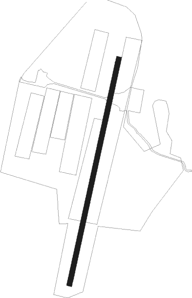
Ljungby - Feringe
Airport details
| Country | Sweden |
| State | Kronoberge län |
| Region | ES |
| Airspace | Sweden Ctr |
| Municipality | Ljungby kommun |
| Elevation | 538ft (164m) |
| Timezone | GMT +1 |
| Coordinates | 56.95028, 13.92167 |
| Magnetic var | |
| Type | land |
| Available since | X-Plane v10.40 |
| ICAO code | ESMG |
| IATA code | n/a |
| FAA code | n/a |
Communication
| Feringe INFO Feringe | 122.250 |
| Feringe RDO Feringe segel | 128.800 |
Nearby Points of Interest:
Vittaryds socken
-Vittaryds kyrka
-Labyrinten i Vittaryd
-Berga socken
-Dörarps socken
-Össlövs skeppssättning
-Tannåkers socken
-Smålands Runestone 31
-Toftaholm
-Ljungby parish, Sunnerbo
-Dannäs socken
-Bolmsö socken
-Tutaryds socken
-Hångers socken
-Angelstad socken
-Tånnö socken
-Småland Runic Inscription 39
-Ryssby parish, Kronoberg county
-Smålands runinskrifter 42
-Kånna kyrka
-Kånna socken
-Torskinge socken
-Odensjö socken
-Rydaholms socken
-Ås socken
Nearby beacons
| code | identifier | dist | bearing | frequency |
|---|---|---|---|---|
| VX | VAXJO NDB | 26 | 97° | 329 |
| JX | VAXJO NDB | 27.4 | 87° | 349 |
| OJ | JONKOPING NDB | 44.9 | 8° | 403 |
| JON | JONKOPING VOR/DME | 48.8 | 10° | 115.80 |
| OA | JONKOPING NDB | 53 | 12° | 338 |
| LJU | LJUNGBYHED VOR/DME | 57.2 | 220° | 113.40 |
| OEM | KRISTIANSTAD NDB | 57.9 | 169° | 363 |
Disclaimer
The information on this website is not for real aviation. Use this data with the X-Plane flight simulator only! Data taken with kind consent from X-Plane 12 source code and data files. Content is subject to change without notice.