Landskrona
Airport details
| Country | Sweden |
| State | Skåne län |
| Region | ES |
| Airspace | Sweden Ctr |
| Municipality | Landskrona kommun |
| Elevation | 191ft (58m) |
| Timezone | GMT +1 |
| Coordinates | 55.94444, 12.86944 |
| Magnetic var | |
| Type | land |
| Available since | X-Plane v10.40 |
| ICAO code | ESML |
| IATA code | JLD |
| FAA code | n/a |
Communication
| Landskrona RDO | 123.350 |
Nearby Points of Interest:
Härslövs
-Ottarps socken
-Ottarps kyrka
-Kvistofta socken
-Säby kyrka, Skåne
-Säby socken
-Fjärestads socken
-Vadensjö socken
-Örja socken
-Landskrona stad
-Bårslövs socken
-Sireköpinge socken
-Asmundtorp socken
-Frillestads socken
-Sofia Albertina Church
-Ekeby socken, Scania
-Ekeby badhus
-Tofta socken, Scania
-Hässlunda socken
-Välluvs socken
-Halmstads socken
-Billeberga socken
-Ramlösa hälsobrunn
-Tirups socken
-Sankt Ibbs socken
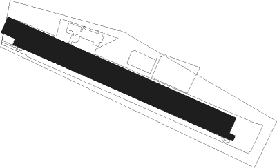
Runway info
Runway 12R / 30L  | ||
| length | 1172m (3845ft) | |
| bearing | 107° / 287° | |
| width | 30m (98ft) | |
| surface | asphalt | |
| displ threshold | 105m (344ft) / 54m (177ft) | |
| Runway 12L / 30R | ||
| length | 275m (902ft) | |
| bearing | 107° / 287° | |
| width | 85m (279ft) | |
| surface | grass | |
| Runway 13L / 31R | ||
| length | 854m (2802ft) | |
| bearing | 107° / 287° | |
| width | 85m (279ft) | |
| surface | grass | |
Nearby beacons
| code | identifier | dist | bearing | frequency |
|---|---|---|---|---|
| LJU | LJUNGBYHED VOR/DME | 13.9 | 67° | 113.40 |
| SVD | DME | 16.7 | 307° | 116.20 |
| AH | ANGELHOLM NDB | 19.3 | 6° | 417 |
| KAS | KASTRUP (COPENHAGEN) VOR/DME | 22.9 | 216° | 112.50 |
| LB | ANGELHOLM NDB | 24.3 | 346° | 370 |
| BEL | DME | 27.6 | 259° | 114.65 |
| SUP | STURUP (MALMO) VOR/DME | 30 | 129° | 113 |
| RK | ROSKILDE (COPENHAGEN) NDB | 35.2 | 250° | 368 |
| MF | HALMSTAD NDB | 42.5 | 355° | 421 |
| LT | HALMSTAD NDB | 51.2 | 358° | 336 |
| CDA | CODAN VOR/DME | 59 | 207° | 114.90 |
Disclaimer
The information on this website is not for real aviation. Use this data with the X-Plane flight simulator only! Data taken with kind consent from X-Plane 12 source code and data files. Content is subject to change without notice.