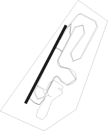
Anderstorp
Airport details
| Country | Sweden |
| State | Jönköpings län |
| Region | |
| Airspace | Sweden Ctr |
| Municipality | Gislaveds kommun |
| Elevation | 506ft (154m) |
| Timezone | GMT +1 |
| Coordinates | 57.26043, 13.59508 |
| Magnetic var | |
| Type | land |
| Available since | X-Plane v10.40 |
| ICAO code | ESMP |
| IATA code | n/a |
| FAA code | n/a |
Communication
| Anderstorp RDO | 123.425 |
Nearby Points of Interest:
Anderstorp socken
-Reftele socken
-Våthults socken
-Våthults kyrka
-Båraryds socken
-Villstads kyrka
-Kulltorps socken
-Kulltorps kyrka
-Gnosjö socken
-Bredaryd socken
-Bosebo socken
-Smålandsstenars kyrka
-Sm 52, Forsheda allmänning
-Källeryds socken
-Källeryds kyrka
-Forsheda socken
-Sm 51, Forsheda kyrkogård
-Kållerstads socken
-Ås socken
-Sm 50 M
-Burseryds socken
-Norra Hestra socken
-Åsenhöga socken
-Åsenhöga kyrka
-Kävsjö socken
Nearby beacons
| code | identifier | dist | bearing | frequency |
|---|---|---|---|---|
| OJ | JONKOPING NDB | 29.7 | 45° | 403 |
| JON | JONKOPING VOR/DME | 33.6 | 43° | 115.80 |
| LT | HALMSTAD NDB | 37.1 | 238° | 336 |
| OA | JONKOPING NDB | 37.8 | 42° | 338 |
| SDH | DME | 38.6 | 304° | 115.65 |
| MF | HALMSTAD NDB | 44.6 | 232° | 421 |
| LB | ANGELHOLM NDB | 61.2 | 222° | 370 |
| AH | ANGELHOLM NDB | 63.9 | 215° | 417 |
Disclaimer
The information on this website is not for real aviation. Use this data with the X-Plane flight simulator only! Data taken with kind consent from X-Plane 12 source code and data files. Content is subject to change without notice.