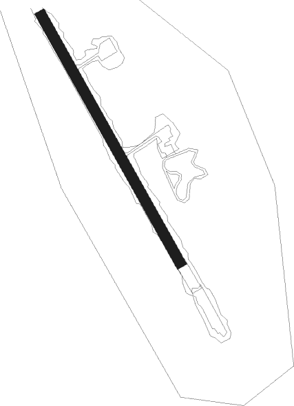
Ölanda - Byxelkrok Olanda
Airport details
| Country | Sweden |
| State | Kalmar län |
| Region | ES |
| Airspace | Sweden Ctr |
| Municipality | Borgholms kommun |
| Elevation | 26ft (8m) |
| Timezone | GMT +1 |
| Coordinates | 57.32861, 17.05028 |
| Magnetic var | |
| Type | land |
| Available since | X-Plane v10.40 |
| ICAO code | ESMZ |
| IATA code | n/a |
| FAA code | n/a |
Communication
Nearby Points of Interest:
Saint Olaf's chapel
-Böda socken
-Högby
-Högby lighthouse
-Källa socken
-Persnäs socken
-Persnäs fattighus
-Figeholms kyrka
-Misterhults socken
-Nalle
-Föra Church
-Föra socken
-Döderhult
Nearby beacons
| code | identifier | dist | bearing | frequency |
|---|---|---|---|---|
| KM | KALMAR NDB | 44 | 235° | 366 |
| KAL | KALMAR VOR/DME | 46 | 230° | 111.60 |
Disclaimer
The information on this website is not for real aviation. Use this data with the X-Plane flight simulator only! Data taken with kind consent from X-Plane 12 source code and data files. Content is subject to change without notice.