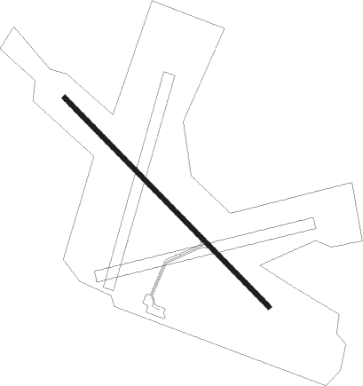
Hallviken
Airport details
| Country | Sweden |
| State | Jämtlande län |
| Region | ES |
| Airspace | Sweden Ctr |
| Municipality | Strömsunds kommun |
| Elevation | 1118ft (341m) |
| Timezone | GMT +1 |
| Coordinates | 63.73833, 15.45889 |
| Magnetic var | |
| Type | land |
| Available since | X-Plane v10.40 |
| ICAO code | ESNA |
| IATA code | n/a |
| FAA code | n/a |
Communication
| Hallviken RDO Stromsund flt club | 123.550 |
Nearby Points of Interest:
Fångsjöbergets hällmålningar
-Hammerdal District
-Gåxsjö socken
-Ströms socken
Nearby beacons
| code | identifier | dist | bearing | frequency |
|---|---|---|---|---|
| RAE | DME | 26.7 | 98° | 116.70 |
| HOT | DME | 32.2 | 44° | 115.70 |
| DJ | OSTERSUND NDB | 41 | 237° | 312 |
| OSS | OSTERSUND VOR/DME | 41.5 | 241° | 114.65 |
Disclaimer
The information on this website is not for real aviation. Use this data with the X-Plane flight simulator only! Data taken with kind consent from X-Plane 12 source code and data files. Content is subject to change without notice.