Airports for X-Plane offers a convenient way to explore airports and their related communication information for the X-Plane flight simulator. It only uses data from the X-Plane flight simulator itself, and is therefore more reliable than the data that comes from real aviation websites. You can search for airports by using the ICAO code, or browse for airports per country and state. The information displayed is categorized by airport details, runway information, airport communication, approach frequencies (ILS and Glidepath details), details of nearby beacons, SIDs, STARs and approach procedures.

downtown airdrome military commuter rail seaplane heliport control tower runway lighting kennedy runway stolport landing area capital airdock gravel landing terminal jet air safety

Sollefteå - Solleftea Langsele

Airport details

CountrySweden
StateVästernorrlands län
RegionES
AirspaceSweden Ctr
MunicipalityLångsele District
Elevation433ft (132m)
TimezoneGMT +1
Coordinates63.17111, 16.98556
Magnetic var
Typeland
Available sinceX-Plane v10.40
ICAO codeESNB
IATA coden/a
FAA coden/a

Communication

Solleftea Langsele RDO122.350
Nearby Points of Interest:
Valvikens kyrksal
-
Långsele socken
-
Helgums socken
-
Österåsens hälsohem
-
Graninge socken
-
Eds socken
-
Sollefteå socken
-
Sollefteå church
-
Sollefteå Garrison
-
Resele socken
-
Multrå socken
-
Multrå kyrka
-
Fors socken
-
Fors skogskapell
-
Sånga socken
-
Sånga kyrka
-
Ådals-Lidens socken
-
Ragunda socken
-
Holms säteri
-
Överlännäs socken

Runway info

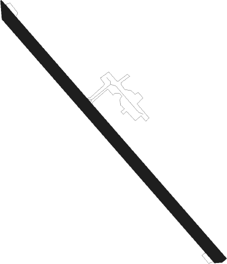
Runway 14 / 32
 length815m (2674ft)
 bearing121° / 301°
 width30m (98ft)
 surfaceasphalt

Airport layout


Nearby beacons

codeidentifierdistbearingfrequency
KGKRAMFORS-SOLLEFTEA NDB20.794°326
LUELUNDE NDB28.8109°427
RAEDME29.9307°116.70
SUNSUNDSVALL VOR/DME40.6144°113.10

Disclaimer

The information on this website is not for real aviation. Use this data with the X-Plane flight simulator only! Data taken with kind consent from X-Plane 12 source code and data files. Content is subject to change without notice.