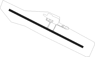
Örnsköldsvik - Ornskoldsvik
Airport details
| Country | Sweden |
| State | Västernorrlands län |
| Region | ES |
| Airspace | Sweden Ctr |
| Municipality | Arnäs District |
| Elevation | 354ft (108m) |
| Timezone | GMT +1 |
| Coordinates | 63.40778, 18.99250 |
| Magnetic var | |
| Type | land |
| Available since | X-Plane v10.40 |
| ICAO code | ESNO |
| IATA code | OER |
| FAA code | n/a |
Communication
| Ornskoldsvik AFIS | 122.250 |
Approach frequencies
| ILS-cat-I | RW12 | 110.1 | 18.00mi |
| 3.2° GS | RW12 | 110.1 | 18.00mi |
Nearby beacons
| code | identifier | dist | bearing | frequency |
|---|---|---|---|---|
| OSK | ORNSKOLDSVIK VOR/DME | 0.1 | 148° | 115 |
| OD | ORNSKOLDSVIK NDB | 3.3 | 286° | 322 |
| OO | ORNSKOLDSVIK NDB | 4.3 | 105° | 369 |
| VNA | VANJA NDB | 34.2 | 64° | 364 |
Instrument approach procedures
| runway | airway (heading) | route (dist, bearing) |
|---|---|---|
| RW12 | NO852 (94°) | NO852 3000ft NO851 (5mi, 54°) 2900ft |
| RW12 | NO853 (105°) | NO853 3100ft NO851 (3mi, 105°) 2900ft |
| RW12 | NO854 (122°) | NO854 3000ft NO851 (5mi, 234°) 2900ft |
| RNAV | NO851 2900ft NO850 (4mi, 105°) 2900ft ESNO (8mi, 105°) 404ft NO576 (6mi, 105°) USLOM (11mi, 272°) 2900ft USLOM (turn) 2900ft | |
| RW30 | NO578 (304°) | NO578 3000ft NO577 (5mi, 54°) 2200ft |
| RW30 | NO579 (286°) | NO579 3000ft NO577 (3mi, 286°) 2200ft |
| RW30 | NO580 (273°) | NO580 3000ft NO577 (5mi, 234°) 2200ft |
| RNAV | NO577 2200ft NO576 (5mi, 286°) 2200ft ESNO (6mi, 285°) 382ft NO855 (6mi, 286°) NO856 (9mi, 19°) GODVU (9mi, 105°) 5000ft GODVU (turn) 5000ft |
Disclaimer
The information on this website is not for real aviation. Use this data with the X-Plane flight simulator only! Data taken with kind consent from X-Plane 12 source code and data files. Content is subject to change without notice.
