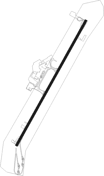
Kiruna
Airport details
| Country | Sweden |
| State | Norrbottena län |
| Region | ES |
| Airspace | Sweden Ctr |
| Municipality | Kiruna kommun |
| Elevation | 1506ft (459m) |
| Timezone | GMT +1 |
| Coordinates | 67.82139, 20.33556 |
| Magnetic var | |
| Type | land |
| Available since | X-Plane v10.40 |
| ICAO code | ESNQ |
| IATA code | KRN |
| FAA code | n/a |
Communication
| Kiruna Tower | 130.150 |
Approach frequencies
| ILS-cat-I | RW21 | 110.3 | 18.00mi |
| 3° GS | RW21 | 110.3 | 18.00mi |
Nearby Points of Interest:
Kiruna Town
-Jerusalem (byggnad)
-Kiruna Former City Hall
-Kirunas gamla centralstation
-Jukkasjärvi socken
Nearby beacons
| code | identifier | dist | bearing | frequency |
|---|---|---|---|---|
| KRA | KIRUNA VOR/DME | 0.1 | 136° | 115.20 |
| OP | KIRUNA NDB | 4.7 | 61° | 360 |
| TG | GALLIVARE NDB | 41.6 | 149° | 346 |
| OG | GALLIVARE NDB | 45.3 | 139° | 325 |
Departure and arrival routes
| Transition altitude | 6000ft |
| SID end points | distance | outbound heading | |
|---|---|---|---|
| RW03 | |||
| TERP4B | 29mi | 142° | |
| VAGA4B | 29mi | 201° | |
| RW21 | |||
| TERP4C | 29mi | 142° | |
| VAGA4C | 29mi | 201° | |
| STAR starting points | distance | inbound heading | |
|---|---|---|---|
| RW03 | |||
| VAGA2R, VAGA4E | 28.6 | 21° | |
| TERP1R, TERP4E | 28.6 | 322° | |
| RW21 | |||
| VAGA4F, VAGA1S | 28.6 | 21° | |
| LAPL4F | 13.3 | 142° | |
| TERP4F, TERP1S, TERP1H | 28.6 | 322° | |
Instrument approach procedures
| runway | airway (heading) | route (dist, bearing) |
|---|---|---|
| RW03 | NQ703 (18°) | NQ703 4500ft NQ700 (6mi, 284°) 3900ft |
| RNAV | NQ700 3900ft NQ701 (4mi, 60°) 3900ft ESNQ (8mi, 60°) 1559ft NQ532 (5mi, 60°) KRA (5mi, 239°) KRA (turn) 4500ft | |
| RW21 | NQ528 (202°) | NQ528 5500ft NQ530 (5mi, 104°) 3800ft |
| RW21 | NQ529 (255°) | NQ529 4000ft NQ530 (4mi, 284°) 3800ft |
| RNAV | NQ530 3800ft NQ531 (5mi, 241°) 3080ft ESNQ (6mi, 241°) 1482ft (4160mi, 197°) 4000ft KRA (4160mi, 17°) 4500ft KRA (turn) 4500ft |
Disclaimer
The information on this website is not for real aviation. Use this data with the X-Plane flight simulator only! Data taken with kind consent from X-Plane 12 source code and data files. Content is subject to change without notice.