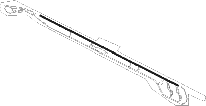
Sattna
Airport details
| Country | Sweden |
| State | Västernorrlands län |
| Region | ES |
| Airspace | Sweden Ctr |
| Municipality | Sättna District |
| Elevation | 884ft (269m) |
| Timezone | GMT +1 |
| Coordinates | 62.48139, 17.00306 |
| Magnetic var | |
| Type | land |
| Available since | X-Plane v10.40 |
| ICAO code | ESNT |
| IATA code | n/a |
| FAA code | n/a |
Communication
Nearby Points of Interest:
Medelpads runinskrifter 14
-Sättna socken
-Medelpads runinskrifter 13
-Indals socken
-Selånger Church
-Medelpads runinskrifter 10
-Medelpads runinskrifter 8 (Skölestenen)
-Timrå socken
-Medelpads runinskrifter 18
-Medelpads runinskrifter 7
-Tuna socken
-Court of Appeal for Southern Norrland
-Medelpads runinskrifter 16
-Medelpads runinskrifter 15
-Skön
-Gamla Riksbankshuset, Sundsvall
-Tillbudet 2
-Bernska huset
-Bosvedjans kyrka
-Hirschska huset
-Grahnska huset
-Stadshuset, Sundsvall
-Sundsvall City
-Rahmska huset
-Wikströmska huset
Nearby beacons
| code | identifier | dist | bearing | frequency |
|---|---|---|---|---|
| SUN | SUNDSVALL VOR/DME | 12.6 | 84° | 113.10 |
| LUE | LUNDE NDB | 32.9 | 64° | 427 |
| KG | KRAMFORS-SOLLEFTEA NDB | 43.5 | 49° | 326 |
Disclaimer
The information on this website is not for real aviation. Use this data with the X-Plane flight simulator only! Data taken with kind consent from X-Plane 12 source code and data files. Content is subject to change without notice.