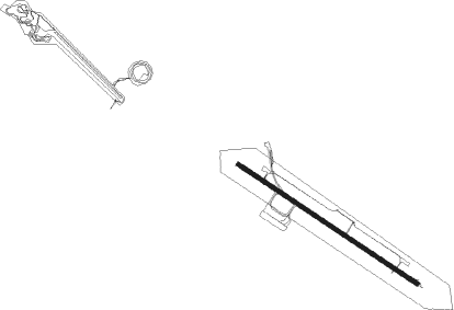
Arvidsjaur
Airport details
| Country | Sweden |
| State | Norrbottena län |
| Region | ES |
| Airspace | Sweden Ctr |
| Municipality | Arvidsjaurs kommun |
| Elevation | 1245ft (379m) |
| Timezone | GMT +1 |
| Coordinates | 65.59028, 19.28194 |
| Magnetic var | |
| Type | land |
| Available since | X-Plane v10.32 |
| ICAO code | ESNX |
| IATA code | AJR |
| FAA code | n/a |
Communication
| Arvidsjaur AFIS | 123.000 |
| Arvidsjaur Tower | 123.000 |
Approach frequencies
| ILS-cat-I | RW12 | 109.35 | 18.00mi |
| ILS-cat-I | RW30 | 111.5 | 18.00mi |
| 3° GS | RW12 | 109.35 | 18.00mi |
| 3° GS | RW30 | 111.5 | 18.00mi |
Nearby beacons
| code | identifier | dist | bearing | frequency |
|---|---|---|---|---|
| AS | ARVIDSJAUR NDB | 2.7 | 108° | 358 |
| AN | ARVIDSJAUR NDB | 4.3 | 287° | 381 |
| DD | LYCKSELE NDB | 61.7 | 214° | 333 |
Instrument approach procedures
| runway | airway (heading) | route (dist, bearing) |
|---|---|---|
| RW12 | NX851 (97°) | NX851 4600ft NX854 (5mi, 62°) 3700ft |
| RW12 | NX852 (108°) | NX852 4000ft NX854 (5mi, 108°) 3700ft |
| RW12 | NX853 (124°) | NX853 3700ft NX854 (5mi, 242°) 3700ft |
| RNAV | NX854 3700ft NX855 (5mi, 108°) 3700ft ESNX (8mi, 108°) 1292ft NEXOV (8mi, 108°) NEXOV (turn) 3200ft | |
| RW30 | NX551 (276°) | NX551 3500ft NX554 (5mi, 243°) 3200ft |
| RW30 | NX552 (288°) | NX552 3200ft NX554 (5mi, 288°) 3200ft |
| RW30 | NX553 (308°) | NX553 4600ft NX554 (5mi, 62°) 3200ft |
| RNAV | NX554 3200ft NX555 (5mi, 288°) 3200ft ESNX (7mi, 288°) 1290ft PRAMA (8mi, 288°) PRAMA (turn) 3800ft |
Disclaimer
The information on this website is not for real aviation. Use this data with the X-Plane flight simulator only! Data taken with kind consent from X-Plane 12 source code and data files. Content is subject to change without notice.

